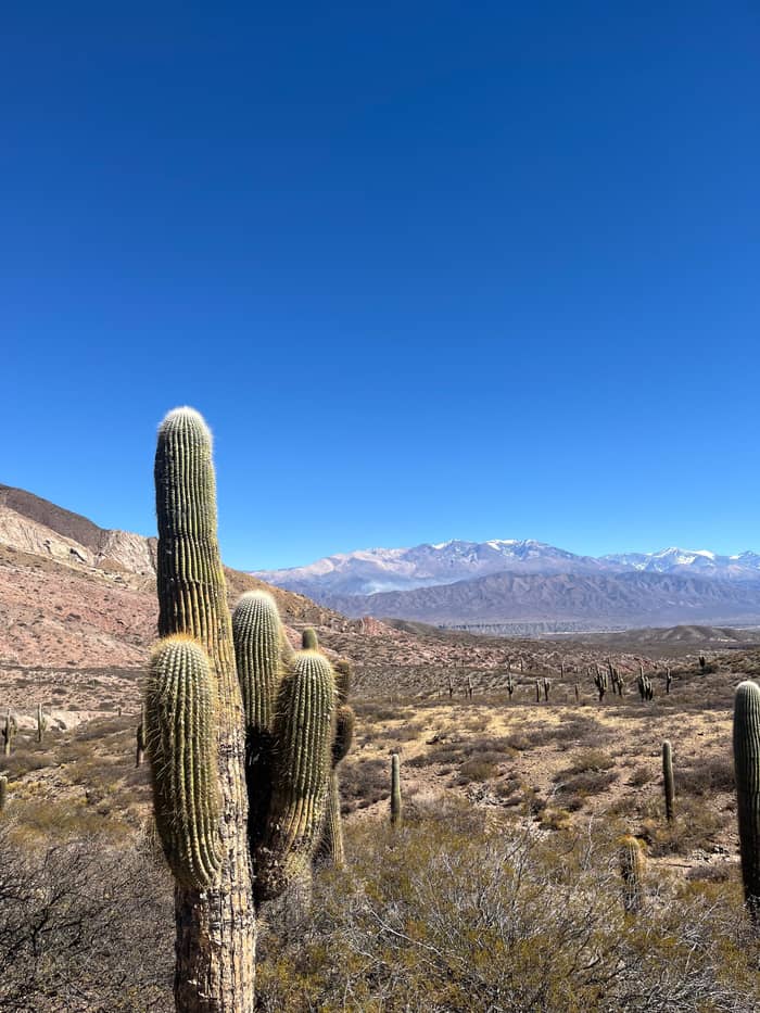
Booked here
The guided day
Pickup and stops on the pass
- Length12 hours
- GuideEnglish and Spanish
- RainStill runs
Locate your stop
Summary
Salta to Cachi is 162 km on provincial route 33 over the Cuesta del Obispo: by a guided day tour with pickup, by the daily bus from the Salta terminal, or by hire car on a road with a gravel pass.
Road essentials
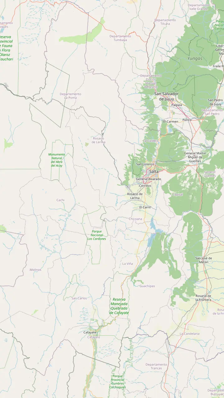
Map of 35 stops
First pick a route, then tap any pin or stop for details and Google Maps.
Long-distance coaches from all over Argentina, and the daily buses to Cachi.
Google MapsA Lerma Valley town that the day tour crosses on its way south out of Salta.
Google MapsThe town named after the Chicoana people, deported here from the Calchaquí Valley.
Google MapsThe green gorge that carries Provincial Route 33 up towards the Calchaquí Valley.
Google MapsThe top of the climb at 3,348 m, with a stone chapel and a broken granite millstone.
Google MapsThe long straight road across the cactus plain, on the line of an ancient path.
Google MapsThe park's administrative seat, where red peppers dry in the sun on the farms.
Google MapsThe colonial town 162 km from Salta, at 2,210 m.
Google Maps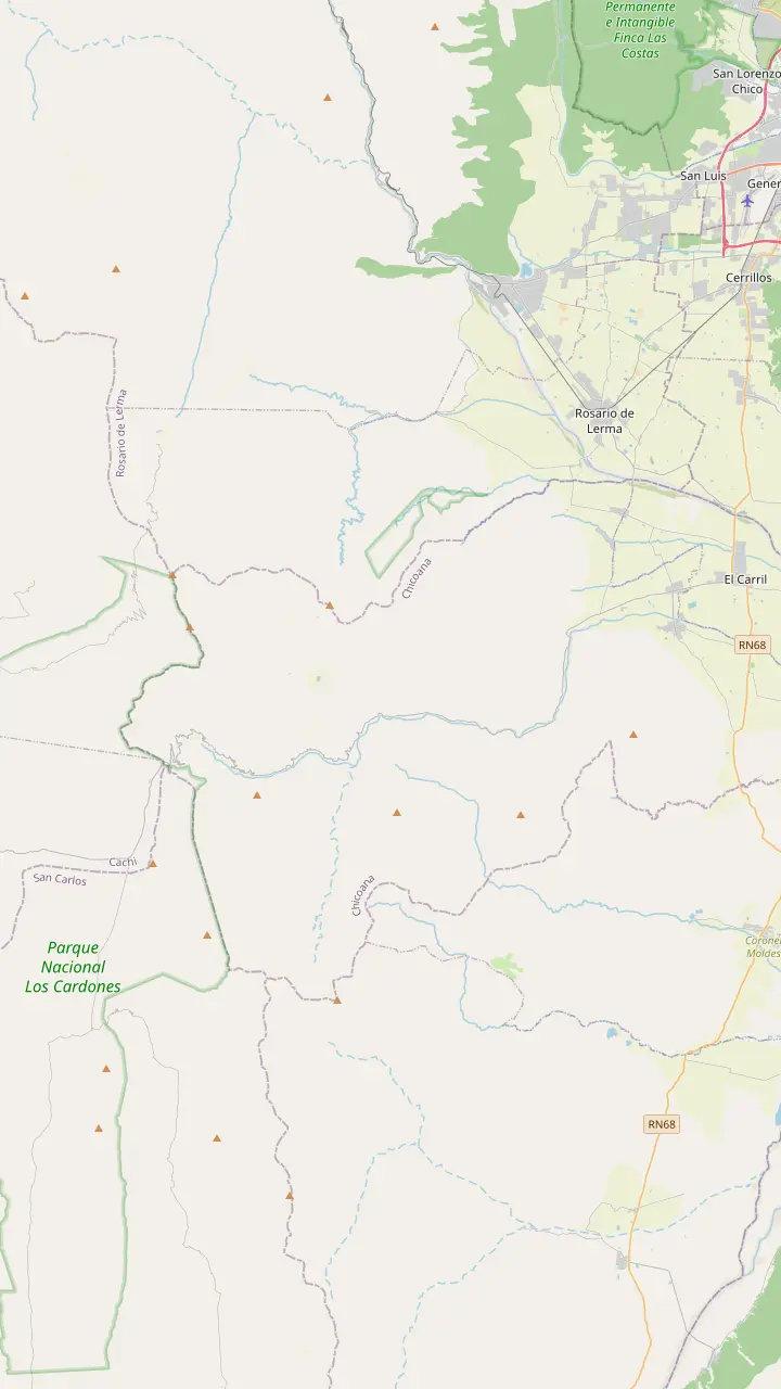
The town named after the Chicoana people, deported here from the Calchaquí Valley.
Google MapsThe green gorge that carries Provincial Route 33 up towards the Calchaquí Valley.
Google MapsEroded rocks, a small lagoon and rock paintings, down a steep side road of 4 km.
Google MapsThe top of the climb at 3,348 m, with a stone chapel and a broken granite millstone.
Google MapsThe high plain you see from Route 33 on the way into the park.
Google MapsThe park's mountain trail, starting at 4,046 m and open from April to November.
Google Maps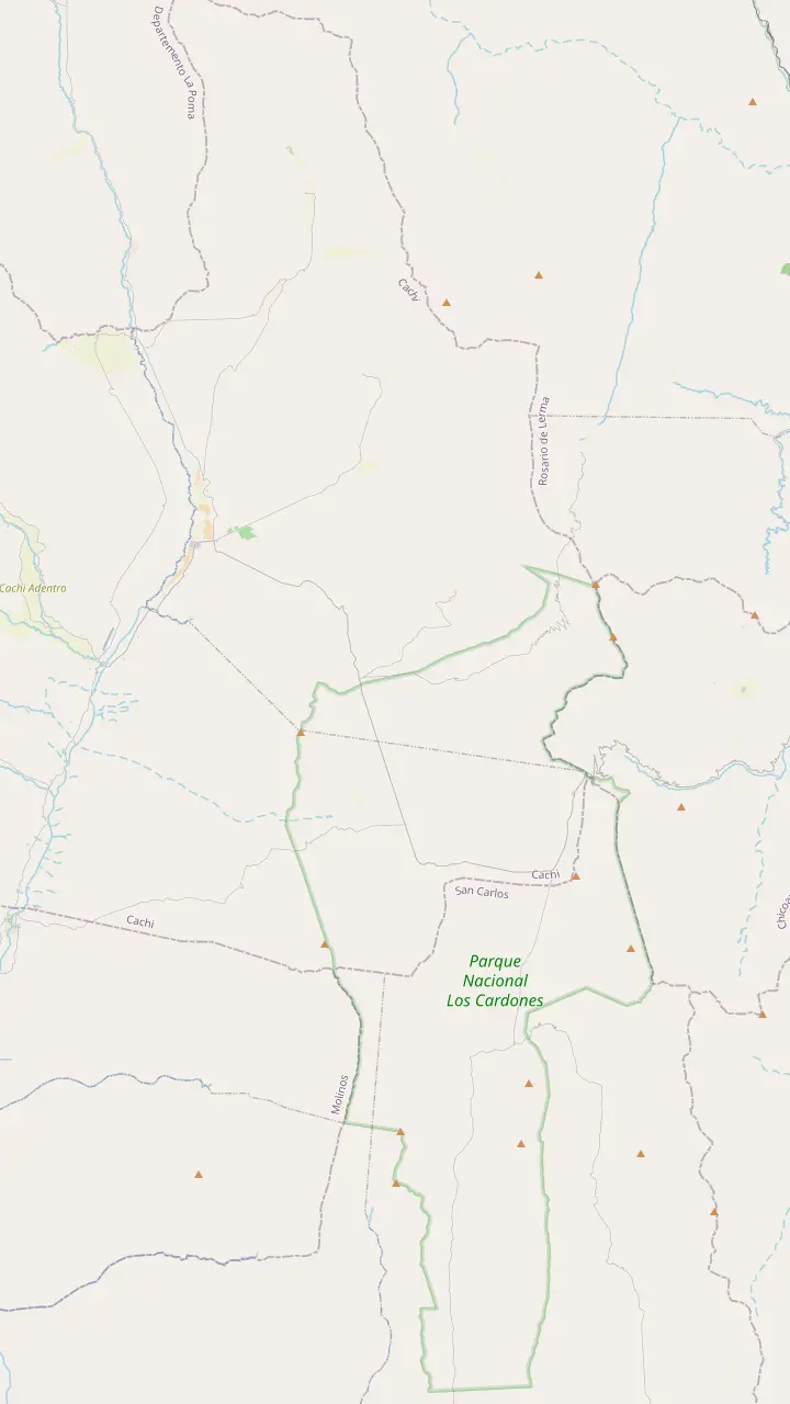
The top of the climb at 3,348 m, with a stone chapel and a broken granite millstone.
Google MapsThe high plain you see from Route 33 on the way into the park.
Google MapsA short path up a hillock beside the road, looking out over the cardones.
Google MapsThe long straight road across the cactus plain, on the line of an ancient path.
Google MapsA churqui forest with the Los Guaipos loop and the Yacoraite campsite.
Google MapsThe park's mountain trail, starting at 4,046 m and open from April to November.
Google MapsThe park's administrative seat, where red peppers dry in the sun on the farms.
Google Maps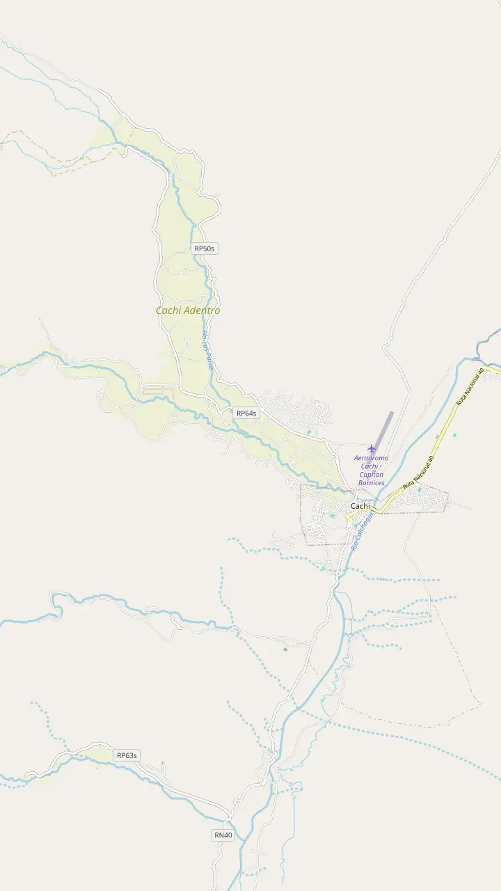
The Pío Pablo Díaz museum, facing the main square beside the San José church.
Google MapsThe street where the wine festival opens with its Fogones del Vino.
Google MapsThe town cemetery, a short walk north of the main square.
Google MapsA hilltop cross north of town with a wide view over the valley floor.
Google MapsThe Star of Hope artwork created 3 km from town, now a viewpoint over the valley.
Google MapsA rural hamlet in the hills west of town, a quiet outing from the square.
Google Maps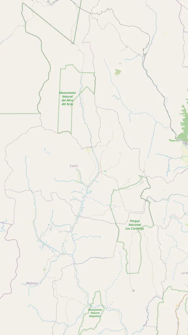
The Pío Pablo Díaz museum, facing the main square beside the San José church.
Google MapsAn archaeological site 12 km from Cachi, facing the snowy Nevado.
Google MapsPre-Columbian ruins in the valley, 14 km from Cachi.
Google MapsThe Star of Hope artwork created 3 km from town, now a viewpoint over the valley.
Google MapsInca shrines and tambos, part of the Qhapaq Ñan World Heritage listing.
Google MapsThe long straight road across the cactus plain, on the line of an ancient path.
Google MapsThe top of the climb at 3,348 m, with a stone chapel and a broken granite millstone.
Google MapsThe highest mountain of the Calchaquí Valleys, the white wall behind the town.
Google Maps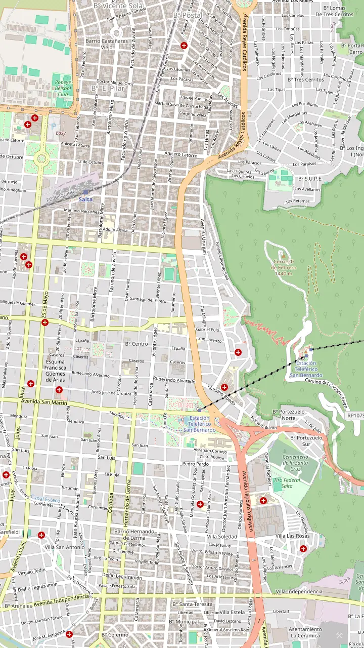
The heart of old Salta, framed by the Cathedral, the Cabildo and the arcades of the historic centre.
Google MapsA National Historic Monument facing the square, home to the sanctuary of the Lord and Virgin of the Miracle.
Google MapsOne of the few almost complete colonial town halls left in Argentina, now a history museum.
Google MapsAn Andean baroque basilica whose bell tower rises 54 m above the street.
Google MapsThe convent whose chapel was begun in 1723, one of the oldest buildings in town.
Google MapsThe high-altitude archaeology museum that keeps the Llullaillaco children, open Tuesday to Sunday.
Google MapsGondolas from Parque San Martín up to the summit, a ride of 10 minutes.
Google MapsSummit gardens and viewpoints, with the cross set up in 1901 and a copper Christ.
Google MapsThe monument to the gaucho general of the independence wars, below the wooded hill.
Google MapsPeñas, bars and regional food along one street, busiest from Thursday to Sunday night.
Google MapsThe historic city market, a good place for a cheap regional lunch.
Google MapsLong-distance coaches from all over Argentina, and the daily buses to Cachi.
Google Maps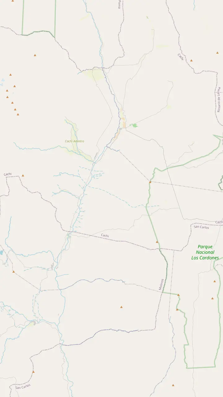
The colonial town 162 km from Salta, at 2,210 m.
Google MapsA rural hamlet in the hills west of town, a quiet outing from the square.
Google MapsPre-Columbian ruins in the valley, 14 km from Cachi.
Google MapsThe park's administrative seat, where red peppers dry in the sun on the farms.
Google MapsA churqui forest with the Los Guaipos loop and the Yacoraite campsite.
Google MapsA valley village reached by Route 42 from the end of the Tin Tin straight.
Google MapsMapping data © OpenStreetMap contributors
The road from Salta to Cachi is part of the trip: a climb through a green gorge, a gravel pass and a cactus plain. Here is how each way of crossing it works.
Editorial team, cachitour.click · Updated November 12, 2026 · Reading: 7 min
In brief
Argentina's national tourism board measures the trip from Salta to Cachi at 162 kilometers along provincial route 33, and Salta tourism uses the same figure.1,5 The national park describes the start of the route: national route 68 out of the city, then provincial route 33 west into the mountains.6 Those numbers are worth knowing, because road signs, rental maps and bus boards all use them, and asking for the road to Cachi by its number saves confusion at junctions in the valley.
Along the way the distances come in steps. The pass at Piedra del Molino, the eastern gate of Los Cardones National Park, sits 97 km from Salta by the park count, and Payogasta, the park headquarters, comes after 147 km.6 From Payogasta, Cachi is a further 11 km up the valley.4 On a map that looks like a short hop across the province, but most of those kilometres are bends, climbs and descents, so judge the trip by hours rather than by distance.
Height changes more than distance. The road leaves the Lerma Valley at about 1,200 m and climbs past 3,000 m before dropping to Cachi, which stands at 2,210 m.7,5 That climb is what makes the trip slow, beautiful and occasionally tricky, and it shapes every choice below, from who drives to what you pack.
Compared
| Way | Stops on the pass | Night in Cachi | Who drives |
|---|---|---|---|
| Guided day tour | Yes, short halts | No, back the same day | The operator |
| Daily bus | No | Yes, if you wish2 | The bus company |
| Hire car | Wherever you like12 | Yes, if you wish | You, on mountain roads3 |
| Multi-day tour | Yes | Depends on the route | The operator |
Daily buses run to Cachi; check timetables and fares at the Salta bus terminal before you travel.2
A guided day is the simplest way to cover the road. The tour sold here collects you in Salta, drives for about 2 hours before the first stop and then halts at the top of the Cuesta, inside the cactus park and on the Tin Tin straight before Payogasta and Cachi. The whole round trip takes 12 hours and starts from $30.
The main advantage is that someone else handles the hairpins, the gravel and the decisions about weather. Salta tourism points out that touring alone in your own or a hired car means travelling without a guide and without a tour company behind you.12 On a road like this, a driver who knows every bend is worth a lot.
The trade-off is time. You get roughly 2 hours in Cachi and short halts elsewhere, and you sleep back in Salta the same night. If you want the valley at dawn or the stars at night, use the bus or a car instead, or pick a multi-day tour that leaves you in the valleys overnight. If your time in Salta allows only a single free day, though, the guided route remains the least stressful way to see the whole road.
The cheapest way to make the journey is the regular bus from Salta to Cachi. The National Parks Administration notes that the city receives coaches from all over Argentina and that there are daily services with Cachi as their destination.2 Buses leave from the Salta bus terminal; ask there for the current timetable and fare.
Getting to the terminal is easy. From the airport, which lies 9 km from the centre, local bus 8A stops 100 m outside on national route 51 and runs to the bus terminal.17 UK travel advice notes pickpocketing on buses and in bus and rail stations, so keep your bags close while you wait, and buy your ticket at the official window rather than from someone in the hall.18
A public bus makes no photo stops on the pass, so sit by a window and enjoy the view as it passes. The real gain is flexibility: you can spend the night in Cachi, catch the morning light on the Nevado and come back another day, or carry on along the valley. Bring snacks and water, because a mountain bus can take its time.
Pick your way
Answer what matters to you and see the best way from Salta to Cachi.
If I have a single day and want the stops
The guided day
Pickup, a guide and halts on the pass, from $30.
If I am on a tight budget
The daily bus
Regular buses cover the route from Salta to Cachi every day.2
If I want sunrise and stars in the valley
Bus or car, then stay
Cachi has hostels, cabins, inns and a campsite.4
If I am a confident mountain driver
Hire a car
Rent from a firm on the provincial register.14
If I travel in the summer rains
Let someone else drive
Water over the road is a real hazard in storms.15
Choose your way
Booked here
Pickup and stops on the pass
Budget
Cheapest, no photo halts
Self-drive
Freedom, gravel and hairpins
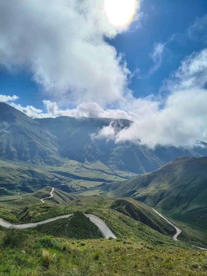
See this optionTo drive from Salta to Cachi, leave the city on national route 68, cross the farmland of the Lerma Valley and turn onto provincial route 33 into the Escoipe gorge.6,9 The gorge road bends more and more until it becomes the Cuesta del Obispo, a climb of 60 km of continuous zigzag that tops out at 3,348 m by Salta tourism's count, though its introduction puts the viewpoint above 3,800 m.63,64
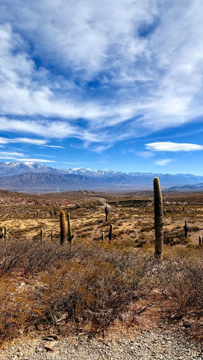
Surface changes as you climb. Salta tourism describes the core of the Cuesta, about 20 km, as wide, gravelled and kept in good repair, with an uneven paving pattern caused by a visible geological fault.65 Beyond the pass the Recta del Tin Tin is paved, a straight line of 18 km at 3,000 m.66,11 After the hairpins it feels like a runway, but keep your speed down: tour vans stop at the roadside, walkers cross to the cactus and animals wander onto the tarmac.
Plan for slower speeds than the map suggests. The province says many circuits run on mountain roads along cliff edges, where traffic averages about 50 km/h, and that distances and journey times often differ from what visitors expect.3,16 Fill the tank in Salta; the park service lists a fuel station in Cachi, at the far end of the drive, and you want daylight for the pass.4
Kilometre by kilometre
Leaving Salta
Into the hills
Provincial route 33 follows the gorge towards the Calchaqui Valley.9
Km 93
The top of the pass at 3,348 m, with its stone chapel.10
Past the pass
A paved straight of 18 km across the cactus plain.11
Km 147
The village that hosts the park headquarters.6
Km 162
Rent only from a licensed firm. Salta tourism keeps a public register of car-hire companies approved by the province, and its general advice is to book cars, lodging and excursions only with licensed providers, never in the street.14,67 Check that the car has a spare tyre and that your contract covers gravel roads before you sign.
A foreign licence can be enough. Argentina accepts licences issued under the 1949 Geneva and 1968 Vienna conventions for up to one year from your entry.13 Carry your passport and the rental papers in the car at all times. The province does inspect tourist routes: a recent operation on the Recta del Tin Tin checked guide credentials and the vehicles carrying visitors.68
Salta province enforces zero tolerance on drink driving: provincial law 7846 bans driving after any amount of alcohol.60 Before setting off, the province advises checking road conditions with Defensa Civil, and in any emergency the number is 911.61,62 Store those numbers in your phone ahead of time, as mobile signal can drop in the mountains.
Video
Kitti and Jon on YouTube · Your tap on play is what loads the video.
Bear in mind that our roads are, on many occasions, mountain roads; distances and journey times may differ from the ones you normally use.
Driver checklist
Summer is the season of storms in the valleys, and it is when the roads suffer. Salta tourism reminds travelers never to enter a flooded stretch of road, whatever its depth seems, and to stick to daylight and the main open roads.15,59 A landslide on the Cuesta can hold traffic for a while, so leave slack in your plans.
The national park keeps its section of road open all year but recommends visiting between April and November.69 Inside the park, entry points open from 9:30 to 18:00, which matters if you plan to walk the short trails rather than just drive through.70 In those drier months the road is at its most reliable and the light is clear.
If you go in summer, watch the forecast, start early and be ready to turn back if water crosses the road. On a guided tour this is the driver's job, and the operator states that the trip still runs in rain and bad weather. Either way, a flexible day in your plans is the best insurance. If a closure does catch you out, Cachi and Payogasta both have places to sleep and eat, so waiting a day is an inconvenience rather than a crisis.4,71
You do not have to go back the way you came. From Cachi, the national tourism board counts 157 kilometers south to Cafayate along national route 40, through the heart of the Calchaqui Valleys.1 That road links villages such as Seclantas and Molinos and turns the trip into a loop rather than an out-and-back drive.
Combination tours cover the same idea without the driving. Cafayate and Cachi over 2 days start from $56, and a 3-day circuit adding the Salinas Grandes starts from $95. A 2-day version mentions some 2 hours on poor dirt roads, a fair description of parts of the valley route. Booking a combo also solves the return problem: you avoid returning a hire car to Salta and the long drive back the same way.
Whatever you choose, the drive between Salta and Cachi rewards slow travel. Stop at the chapel on the pass, walk among the cactus on the Recta and arrive in Cachi with time to spare. Our pages on the Cuesta del Obispo and Los Cardones National Park describe what you see along the way in more depth, and the day-trip page breaks the guided journey into its stops.
FAQ
Cachi lies 162 kilometers from the city of Salta along provincial route 33.1
The national park notes daily bus services from Salta with Cachi as their destination.2
The park service lists a fuel station in Cachi among its services; fill up in Salta first.4
Licences under the 1949 Geneva or 1968 Vienna conventions are valid for up to one year from entry.13
The national park recommends visiting between April and November, outside the summer rains.69
Sources
Further reading
Crossing the Bishop's Slope to Cachi? Ask a real person here.