Green
Rainy summer
November to March
- TemperatureWarm days
- RoadsMud and slides possible
- BonusFlowers after rain
Tap-to-check list
Checklist: 9 items
Tick items as you finish them. We save your progress on this device.
0 / 9 ready
Ready to go. Pick the day for the drive over the pass, and the rest is settled.
Save a placeCachi sits high and the road climbs higher. Here is how the altitude of Cachi, Salta, feels, what each season brings and what to pack for warm sun and sharp cold.
Editorial team, cachitour.click · Updated November 12, 2026 · Reading: 7 min
The altitude of Cachi, Salta, is 2,210 m, and the town lies 162 km from the provincial capital.1 That is well above the provincial capital, down in its valley at just 1,187 m.6 The number on its own sounds manageable for a place where people live, farm and even train athletes all year.7 The catch is the road, which does not climb gently from one height to the other, and the time you spend near the top of it.
According to the park service, the road gains height from roughly 1,200 m on the valley floor to beyond 3,000 m on the slope.8 The top of the pass, Piedra del Molino, stands at 3,348 m in both the provincial detail and the park service list, though the provincial introduction names a height above 3,800 m.2,9,10 After that the road runs across the Tin Tin straight at about 3,000 m before it drops towards the valley floor.11 So a day trip takes you through a large gain in height and back down again within a few hours, with no night in between to adjust.
Above everything rises the Nevado de Cachi in Salta, the highest mountain of the Calchaquí Valleys.12 Sources disagree on its height: the provincial tourism board gives 6,380 m, while a park service page gives 6,720 m.13,14 Either way, its snowcaps are a fair reminder of how much colder the air becomes as you gain height. Climbing it is a serious expedition for experienced mountaineers with local guides, not an add-on to a town visit.15
Season by season
| Period | Months | What to expect |
|---|---|---|
| Rainy season | November to March | Storms, mud, green slopes |
| Amancay bloom | After the first January rains | Yellow flowers on the valley floor |
| Recommended visit | April to November | Dry roads and clear views |
| Malcante trail open | 1 April to 30 November | High-mountain hiking |
| Pachamama offerings | August | Ceremonies in town |
Seasons from the park service and the provincial tourism board.3,27,4,28,29
Britain's NHS sets the usual threshold for altitude illness at around 2,500 m and warns that a rapid gain in height raises the odds.17,18 The day tour crosses that line on the slope and spends time above it in the park. Trouble tends to surface 6 to 10 hours into your time up high, so headaches can arrive on the drive home or that evening.16
The NHS also advises against going from below 1,200 m to above 3,500 m in 1 day.19 Salta lies at 1,187 m, just under the lower line, and the pass is 3,348 m by most official figures, yet Salta tourism also writes of over 3,800 m in one passage, so the classic day trip comes close to that guidance or goes past it.6,2,10 Drink enough water to avoid dehydration and skip alcohol.20,21
If you feel unwell, tell someone and rest at the same height rather than going higher.22 If symptoms get worse or last more than 1 day, go down by around 300 to 1,000 m.23 Speak to a doctor or travel clinic before the trip if altitude has troubled you before.24 Coca leaves are part of valley life and among the offerings made to the Pachamama, but the health guidance we rely on does not list them, so treat coca tea as a local custom, not as medicine.25
Temperatures in the park
Park service figures for Los Cardones National Park, on the road to Cachi; winter lows fall below zero. They describe the park, not the town itself.26
Most of the year Cachi is dry and bright. The national tourism board describes Cachi's climate as dry, with warm summers, cold winters and big gaps between highs and lows.31 Across Los Cardones park on the way, the park service describes an arid climate with big swings between day and night.30 The sky is usually clear, the light is sharp and the dust settles on everything.
The park service recommends visiting between April and November, and the national tourism board gives a similar window of March to November for the park.4,32 These are the months when the roads are most reliable and the views from the pass are clearest. The Cerro Malcante trail in the park follows the same calendar and is open from 1 April to 30 November.28
Dry does not mean warm. In the park the service gives a winter mean of 11 °C, with lows below zero.26 Days at the town's height can feel pleasant in the sun and cold in the shade, and the change at sunset is fast. Pack for both, and keep sunscreen and lip balm within reach, not buried in your luggage. A thin fleece weighs little and earns its place every single afternoon.
When to go
Choose by what matters most on your trip.
If I want dry roads and clear views
April to November
The park service recommends these months for a visit.4
If I want green slopes and flowers
January to March
The amancay blooms after the first rains of January.27
If I hate the cold
Avoid winter nights
Park winter means sit at 11 °C with lows below zero.26
If I want to hike Cerro Malcante
April to November
The trail is open from 1 April to 30 November.28
If I want it easy whatever the weather
The guided day tour
It runs in rain or shine, from $30.
Seasons compared
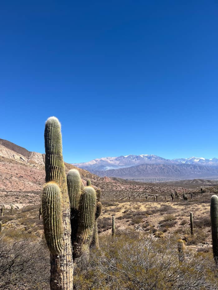
Green
November to March
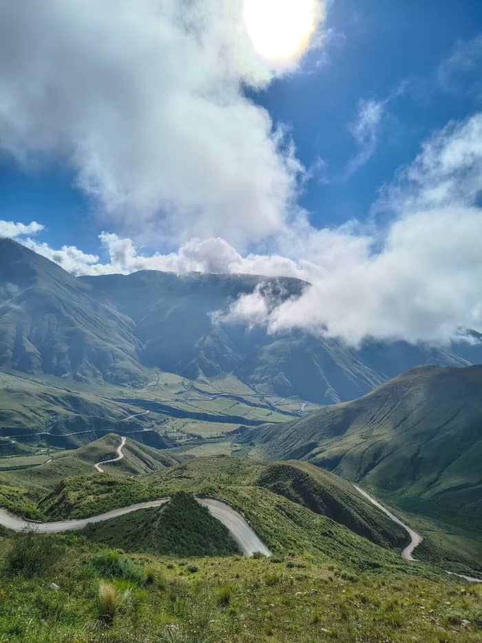
Clear
June to August
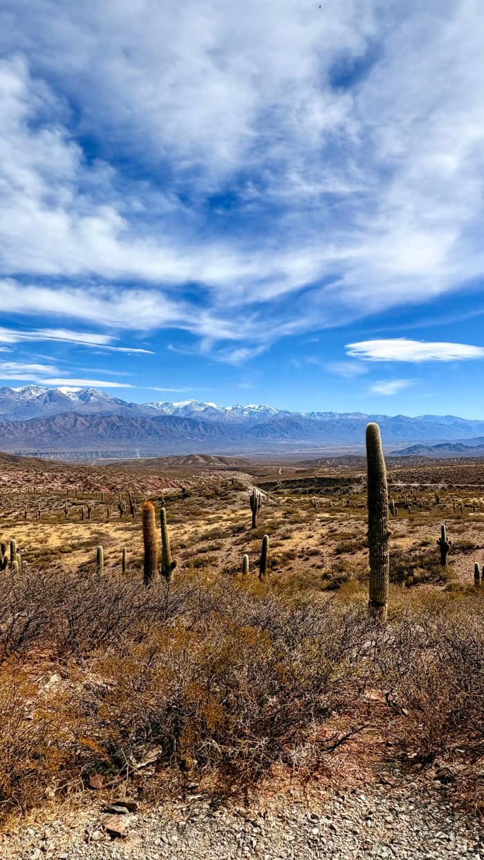
Mild
April, May, September to November
Summer is the rainy season. The park service records up to 150 mm of rain a year, falling mostly from November to March.3 That is not much by world standards, but it arrives in heavy bursts, and on mountain roads a short storm can bring mud and loose rock down onto the carriageway. Cloud also fills the Escoipe gorge on many summer mornings.
In a downpour the province wants drivers off rural roads, away from fords and well clear of rivers.36 Never try to cross a flooded stretch, however shallow it looks, and plan your drives for daylight on the main open roads.37,38 If you are on the day tour, note that it is not cancelled for rain, so expect the guide to adapt the stops to the conditions.
The rain has its rewards. After the first January storms, the yellow amancay flowers cover the valley floor in the park.27 Lagoons fill in the rainy months, and the high slopes turn green for a few weeks.39 In the park the service gives a summer mean of 18 °C with highs of 30 °C, so a summer day can be hot at noon and wet by late afternoon.26
Price the trip
Compare guided day trips from Salta to Cachi.
Compare 3 side by side
Compare guided day trips from Salta to Cachi.
≈
View≈
View≈
ViewStarting prices on GetYourGuide, exchanged at the ECB reference rate. The booking page gives the exact price.
Height through the day
Early morning
The city sits at 1,187 m in the Lerma Valley.6
Mid-morning
The road climbs to more than 3,000 m.8
Late morning
The highest point of the day, at 3,348 m.2
Noon
A flat run across the plain at about 3,000 m.11
Afternoon
About 2 hours at 2,210 m, with lunch.1
Evening
Watch for headache or fatigue later on.16
Winter in Cachi, Salta, means cold nights and very clear days. The provincial board says winter means in the valleys stay below 14 °C, while summer averages climb above 20 °C.40 Up on the slope and in the park it is colder still, and the lagoons near the Valle Encantado freeze over in winter.39 Snow in the lower parts of the park is exceptional, according to the park service.41
This is also the clearest season for the views, with the Nevado sharp against a blue sky. The provincial board recommends a light coat for summer nights and a good coat for winter.33 Add gloves and a hat for the evening and an early start, and you will be comfortable even when the sun goes down behind the mountains.
Winter is not empty either. During the July school holidays Cachi runs a program of events that has included a tortilla contest, traditional games, fireside evenings and a textile parade.42 That programme closed with the Pachamama celebration on the main square on 1 August, early in the morning.43 Throughout August, families make offerings to Mother Earth in their own ceremonies.29
Video
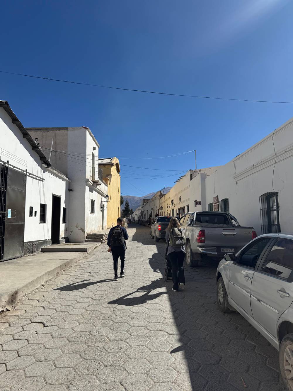
The 50 50 Lifestyle Travel Couple on YouTube · Your tap on play is what loads the video.
The climate is arid in a large part of the area, with a wide temperature range.
The biggest surprise for visitors is the daily swing. Between mid-afternoon and the small hours, the province says, readings in the valleys and the Puna drop by 10 to 15 °C.5 A morning that needs a jacket can turn into a T-shirt afternoon and back again before dinner, so wear several thin layers you can shed and add.
The sun is strong at this height. The board says a hat or cap and sunglasses are needed for protection, and the national tourism board adds sunscreen to the list for Cachi.34,35 Wear them even on cloudy days, and reapply sunscreen after each stop, because the dry air hides how much your skin is drying out and burning.
Wind and cloud complete the picture. On the trails, incoming cloud can swallow the view and chill the air within minutes, rangers warn.44 Afternoons on the high plain are often breezy, which feels pleasant until you stop moving. Keep a windproof layer at hand, and drink regularly even if you do not feel thirsty, because dry air and altitude dehydrate you quietly.
The classic day tour takes 12 hours in all, and the first 2 hours go on the drive to the foot of the slope. It runs in rain or shine, so your choice of season matters more than the forecast for one day. From April to November you will usually have clear views and dry roads, and in summer you trade some cloud and mud for green slopes and flowers.4,3
On the day, eat a light breakfast, drink water steadily and keep alcohol for another evening.20,21 Sit near the front of the bus if bends upset you. In Cachi you get about 2 hours, partly guided and partly your own, enough for a gentle walk around the square and a meal at a relaxed pace.
If anything goes wrong on the road, the emergency numbers are 911 for the police and 105 for emergencies in Salta city.45 Tell your guide early if you feel unwell, because rest at the same height and a steady descent are the usual answers. The tour starts from $30 with pickup in Salta, and it leaves the hairpins to a professional driver while you watch the clouds.
FAQ
Cachi lies at 2,210 m above sea level, 162 km from Salta, according to the provincial tourism board.1
The park service records up to 150 mm of rain a year, mostly between November and March.3
Sources
Further reading
Crossing the Bishop's Slope to Cachi? Ask a real person here.