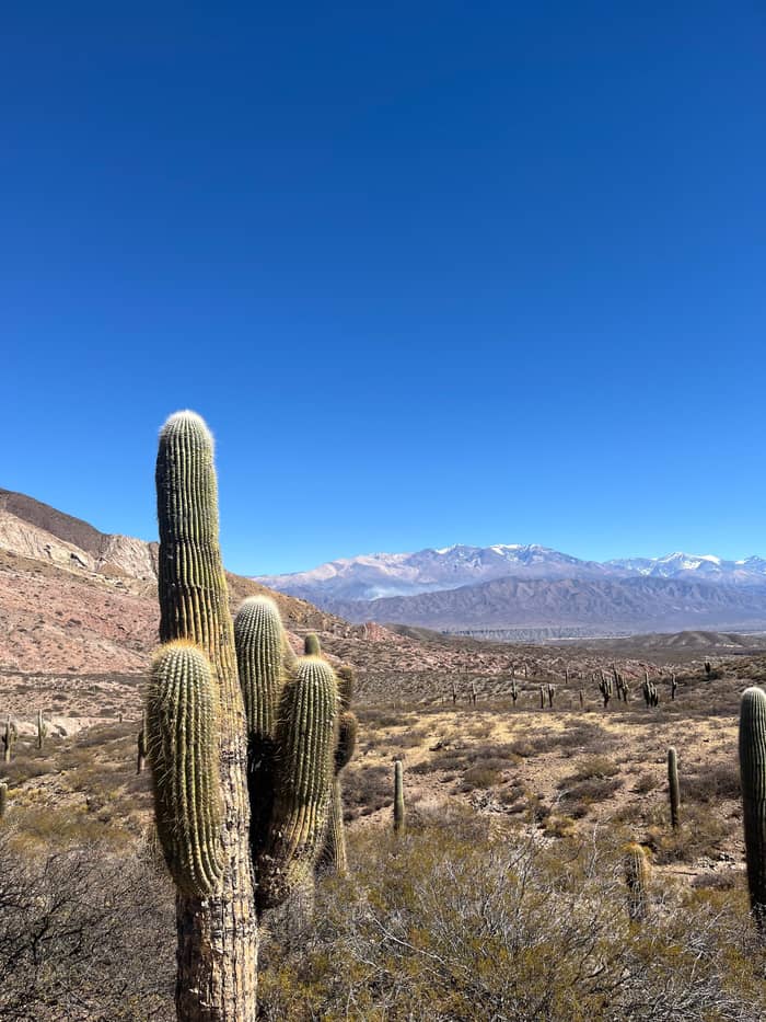
Cardones
Cactus forest
The Monte sector
- TrailSecretos del Cardonal
- Altitude2,800 m
- Look forCactus giants
Locate your stop
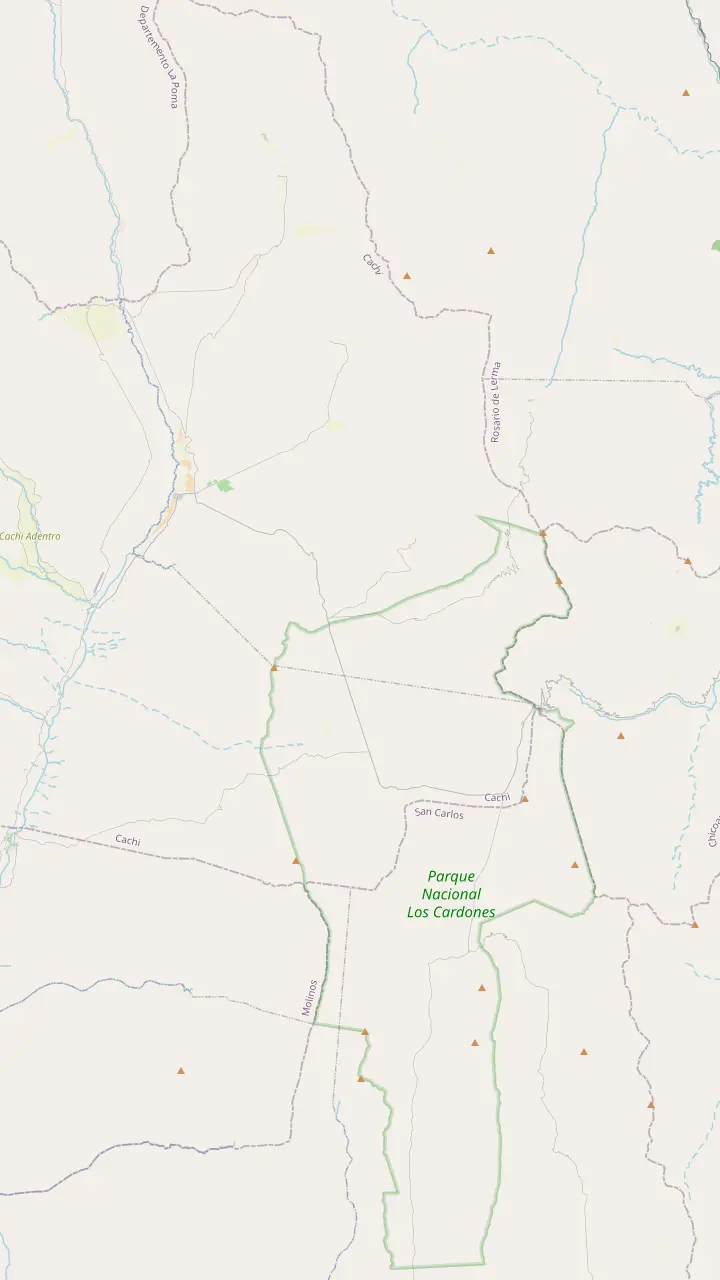
Map of 35 stops
First pick a route, then tap any pin or stop for details and Google Maps.
The top of the climb at 3,348 m, with a stone chapel and a broken granite millstone.
Google MapsThe high plain you see from Route 33 on the way into the park.
Google MapsA short path up a hillock beside the road, looking out over the cardones.
Google MapsThe long straight road across the cactus plain, on the line of an ancient path.
Google MapsA churqui forest with the Los Guaipos loop and the Yacoraite campsite.
Google MapsThe park's mountain trail, starting at 4,046 m and open from April to November.
Google MapsThe park's administrative seat, where red peppers dry in the sun on the farms.
Google Maps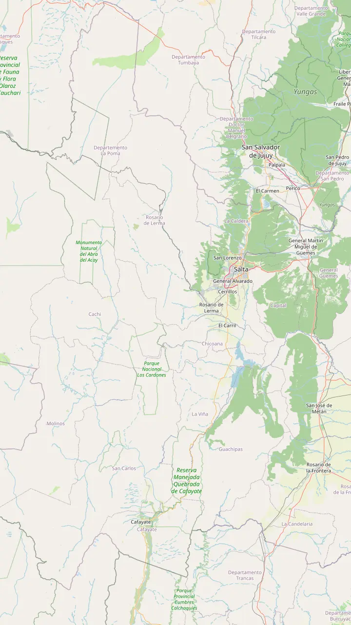
Long-distance coaches from all over Argentina, and the daily buses to Cachi.
Google MapsA Lerma Valley town that the day tour crosses on its way south out of Salta.
Google MapsThe town named after the Chicoana people, deported here from the Calchaquí Valley.
Google MapsThe green gorge that carries Provincial Route 33 up towards the Calchaquí Valley.
Google MapsThe top of the climb at 3,348 m, with a stone chapel and a broken granite millstone.
Google MapsThe long straight road across the cactus plain, on the line of an ancient path.
Google MapsThe park's administrative seat, where red peppers dry in the sun on the farms.
Google MapsThe colonial town 162 km from Salta, at 2,210 m.
Google Maps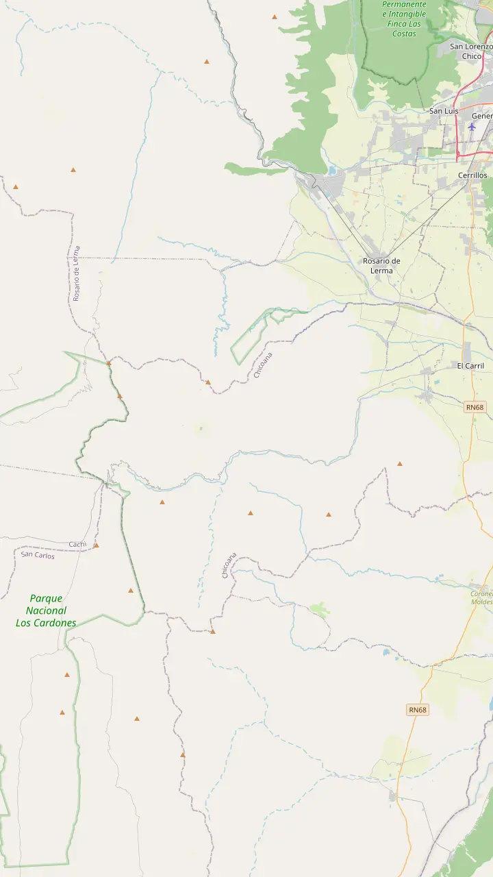
The town named after the Chicoana people, deported here from the Calchaquí Valley.
Google MapsThe green gorge that carries Provincial Route 33 up towards the Calchaquí Valley.
Google MapsEroded rocks, a small lagoon and rock paintings, down a steep side road of 4 km.
Google MapsThe top of the climb at 3,348 m, with a stone chapel and a broken granite millstone.
Google MapsThe high plain you see from Route 33 on the way into the park.
Google MapsThe park's mountain trail, starting at 4,046 m and open from April to November.
Google Maps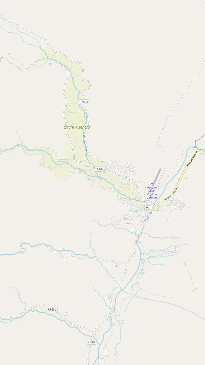
The Pío Pablo Díaz museum, facing the main square beside the San José church.
Google MapsThe street where the wine festival opens with its Fogones del Vino.
Google MapsThe town cemetery, a short walk north of the main square.
Google MapsA hilltop cross north of town with a wide view over the valley floor.
Google MapsThe Star of Hope artwork created 3 km from town, now a viewpoint over the valley.
Google MapsA rural hamlet in the hills west of town, a quiet outing from the square.
Google Maps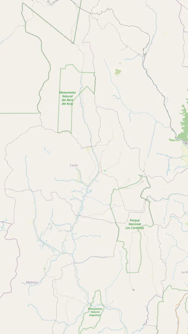
The Pío Pablo Díaz museum, facing the main square beside the San José church.
Google MapsAn archaeological site 12 km from Cachi, facing the snowy Nevado.
Google MapsPre-Columbian ruins in the valley, 14 km from Cachi.
Google MapsThe Star of Hope artwork created 3 km from town, now a viewpoint over the valley.
Google MapsInca shrines and tambos, part of the Qhapaq Ñan World Heritage listing.
Google MapsThe long straight road across the cactus plain, on the line of an ancient path.
Google MapsThe top of the climb at 3,348 m, with a stone chapel and a broken granite millstone.
Google MapsThe highest mountain of the Calchaquí Valleys, the white wall behind the town.
Google Maps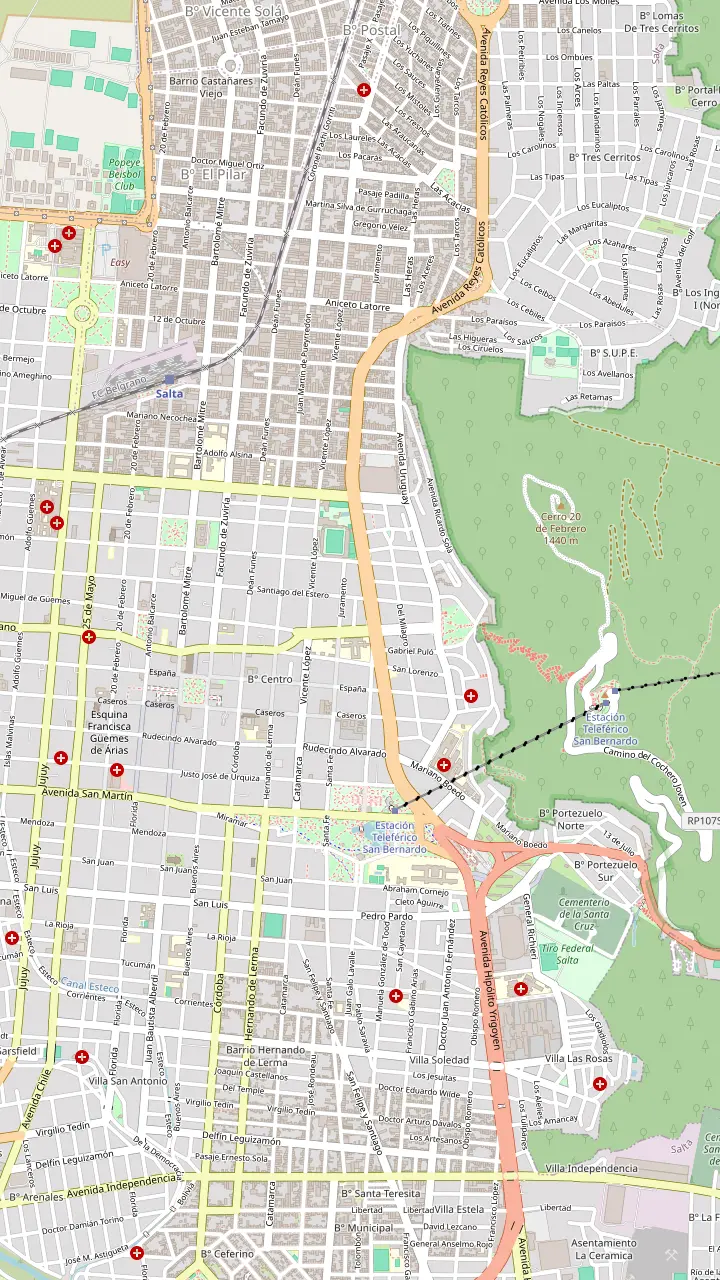
The heart of old Salta, framed by the Cathedral, the Cabildo and the arcades of the historic centre.
Google MapsA National Historic Monument facing the square, home to the sanctuary of the Lord and Virgin of the Miracle.
Google MapsOne of the few almost complete colonial town halls left in Argentina, now a history museum.
Google MapsAn Andean baroque basilica whose bell tower rises 54 m above the street.
Google MapsThe convent whose chapel was begun in 1723, one of the oldest buildings in town.
Google MapsThe high-altitude archaeology museum that keeps the Llullaillaco children, open Tuesday to Sunday.
Google MapsGondolas from Parque San Martín up to the summit, a ride of 10 minutes.
Google MapsSummit gardens and viewpoints, with the cross set up in 1901 and a copper Christ.
Google MapsThe monument to the gaucho general of the independence wars, below the wooded hill.
Google MapsPeñas, bars and regional food along one street, busiest from Thursday to Sunday night.
Google MapsThe historic city market, a good place for a cheap regional lunch.
Google MapsLong-distance coaches from all over Argentina, and the daily buses to Cachi.
Google Maps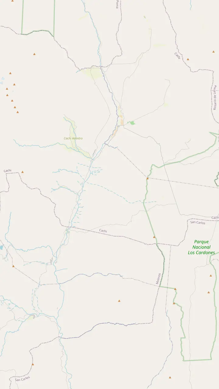
The colonial town 162 km from Salta, at 2,210 m.
Google MapsA rural hamlet in the hills west of town, a quiet outing from the square.
Google MapsPre-Columbian ruins in the valley, 14 km from Cachi.
Google MapsThe park's administrative seat, where red peppers dry in the sun on the farms.
Google MapsA churqui forest with the Los Guaipos loop and the Yacoraite campsite.
Google MapsA valley village reached by Route 42 from the end of the Tin Tin straight.
Google MapsMapping data © OpenStreetMap contributors
Candelabra cactus taller than a house, a road as straight as a ruler and condors over an empty plain: the landscapes of Cachi, Salta, start inside this park.
Editorial team, cachitour.click · Updated November 12, 2026 · Reading: 7 min
Los Cardones National Park was created in 1996 under Law 24,737 and covers 64,117 hectares.7,8 Its land runs over dry ranges and gorges between 2,700 and 5,000 m, which is why the road from the Bishop's Slope to Cachi spends so long crossing it.9 On the tour you are inside the park from the moment you pass the chapel at Piedra del Molino.
The park service describes a mosaic of environments: high Andes, puna, the dry Monte of sierras and basins where the cactus forests grow, and even a patch of cloud grassland that belongs to the Yungas.10 That mix explains the sudden changes of color and texture through the bus window, from grey scree to golden grass to green cactus columns standing in rows.
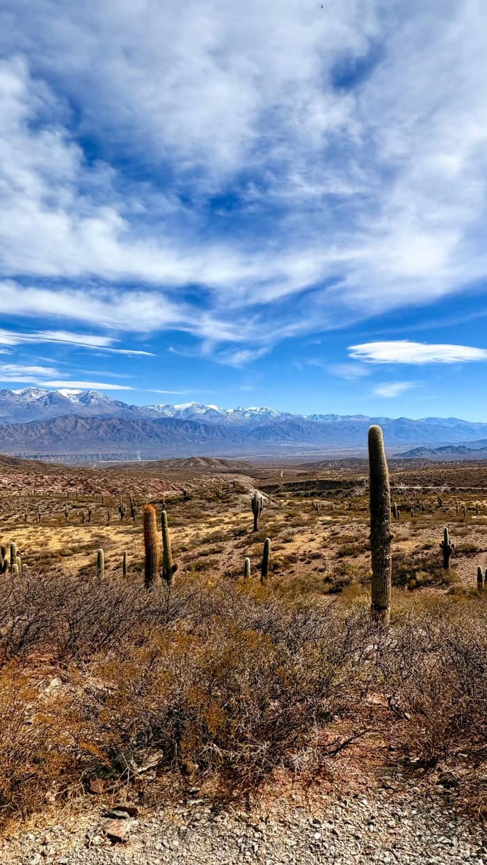
Above all, this is cactus country. The park service says the Monte sector has the greatest cactus diversity in Argentina and one of the highest in the world.11 The national tourism board calls the park home to one of the most extensive cardón stands in South America.12 If a single picture defines the landscapes of Cachi, Salta, it is a cardón against a hard blue sky, and you will take dozens of them here.
Trails at a glance
| Trail | Altitude | Length | Time |
|---|---|---|---|
| Caminos del Pasado | 2,969 m | 50 m | 15 min |
| Secretos del Cardonal | 2,800 m | 200 m | 20 min |
| Ojo de Cóndor | 3,035 m | 130 m | 25 min |
| Papas Silvestres | 3,088 m | 120 m | 15 min |
| El Ciénego | 3,088 m | 1,200 m | 45 min |
| Los Guaipos | 2,844 m | 2,000 m | 2 hours |
| Cerro Malcante | 4,046 m start | 1,154 m climb | 4 hours |
Approximate times and altitudes from the park service's trail list.28,16,30,29,31,32,33,34
The cardón is a slow builder. According to the provincial tourism board, a plant grows only 1 to 5 cm in a typical year, which makes the roadside giants very old indeed.19 The board puts the age of the park's tall cardones at between 250 and 300 years, so treat the tall ones with the respect you would give an ancient tree.20 A slow grower in a dry land also heals slowly, which is why a scratched initial or a broken arm stays visible for decades.
Height figures vary by source. The park service says the park's cardones can reach almost 15 m, while the provincial board gives up to 10 m and a life of 250 years.5,21 Both agree on the details that make the plant so tough: its leaves have evolved into spines that cut water loss and defend it, and its trunk does the work of photosynthesis and stores water.22,23
Flowers are a rare event. The board says a cardón only blooms once it has lived for half a century, and its fruit, the pasacana, releases about 80,000 seeds.24,25 The park service adds that the big white flowers open at dusk and last only a few hours.26 Young plants survive by sprouting under the jarilla shrub, which shelters them until they are big enough to stand alone.27
Look closely at a dead cardón and you will see a lattice of pale wood behind the spines. The provincial board notes that this light, fragile-looking timber has been used for roof beams, furniture and crafts.38 In a valley with so few trees, a straight beam of any kind was precious, and the hollow, ribbed skeleton of a fallen cardón was light enough to carry down a mountain on a mule.
You can see the result in Cachi. The national tourism board points out the town church, across from the main square, for its architecture and its roofs of cardón wood.39 Step inside, look up, and the pale slatted ceiling tells you how the valley built before timber could be trucked in over the slope. It deserves a look on even the shortest stop on the square.
That use came at a price. The board explains that the species came close to extinction, so it was protected, and cutting a cardón is now strictly forbidden.37 Treat every plant in the park as protected, never break off a piece of wood or a spine as a souvenir, and buy crafts only from shops that can tell you where the wood came from. It is the simplest way to help the park survive its own popularity.
Which stop?
Go by your time budget and your interests.
If I only have a few minutes
Secretos del Cardonal
A loop of 200 m and about 20 minutes among the cardones.16
If I want the big view
Ojo de Cóndor
A short path above the road looking over the cactus valley.15
If I love birds
El Churcal
Churqui forest over 500 hectares, ideal for birdwatching.35
If I want a real mountain
Cerro Malcante
A climb from 4,046 m to 5,220 m, open April to November.33,36
If I want it all with a guide
The Cachi day tour
Stops in the park and on the Tin Tin straight, from $30.
Landscapes compared
Cardones
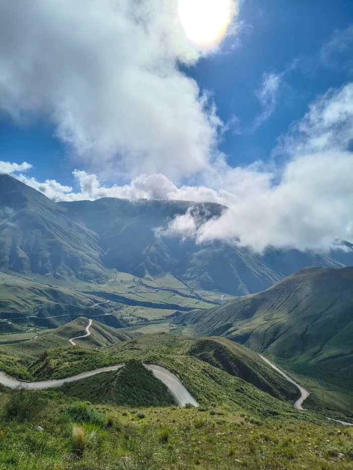
The Monte sector
Birds
El Churcal
Flowers
Yungas edge
After the high plain the road drops onto the Recta del Tin Tin, which the provincial board describes as a dead straight line 18 km long at 3,000 m.17 Historical references say native peoples laid it out, using fires as markers to keep it true.78 Today it is paved and lined with countless cardones, with Cerro Negro on the right and Cerro Tin Tin on the left.79
The straight is part of a much larger story. The provincial board explains that Inca builders laid perfect straights wherever the ground was flat, and names the Tin Tin as a modern valley road that was once a pre-Columbian path.80 Those roads served people on foot, chasqui messengers among them, and llamas that carried 30 to 40 kg on their backs.81 The park's Caminos del Pasado trail, at km 90 of route 33, explains the history on signs beside the road.82
The tour stops here for photos and a short walk of 15 minutes. Come back in summer and the scene changes: after the first January rains the yellow amancay flower carpets the valley floor.83 At the far end the straight meets route 42 towards Seclantás, passing 3 km from the park's forest of giant churqui trees.71 Few visitors drive that far, so the side road is a quiet place to stop and listen to the wind in the grass.
Price the trip
Compare day trips from Salta that cross the park to Cachi.
Compare 3 side by side
Compare day trips from Salta that cross the park to Cachi.
≈
View≈
View≈
ViewStarting prices on GetYourGuide, exchanged at the ECB reference rate. The booking page gives the exact price.
Through the park
East gate
The chapel and millstone mark the eastern entrance of the park.13
High plain
A wide plain with the El Hervidero lagoon in view from the road.14
Viewpoint
A short walk to a lookout over the cactus valley.15
Cactus forest
A loop of 200 m through the cardones beside the road.16
The straight
A line of 18 km across the plain at 3,000 m.17
West side
The village where the park has its offices.18
The park service has built several short trails beside the main road through the park. Secretos del Cardonal starts at km 85 of the Tin Tin straight and loops through a cactus forest that spreads over 10,000 hectares.84,85 It is only 200 m long and takes about 20 minutes at 2,800 m.16 Nearby, the Ojo de Cóndor viewpoint is a walk of 130 m and about 25 minutes, with parking beside the road.30
For a longer outing, take the side road of about 2 km that leaves route 33 at km 83 for El Churcal, a dense forest of churqui trees over 500 hectares that is excellent for birds.35 Its Los Guaipos loop is 2,000 m long and takes about 2 hours.32 The El Ciénego loop is 1,200 m and about 45 minutes, and after a steep first 200 m it suits children as well as adults.31,86
Serious hikers can tackle Cerro Malcante, open from 1 April to 30 November.36 It starts at 4,046 m and ends at 5,220 m, a climb of 1,154 m that takes about 4 hours.33,34 The park requires high-mountain experience, prior registration and proper equipment.77 On every trail, signs warn of spiders and venomous snakes, so stay on the path and watch for traffic.75
Video
DeweyRides on YouTube · Your tap on play is what loads the video.
This plant species was in danger of extinction, so it was protected, and today cutting it down is strictly forbidden.
Park visit
Wildlife is part of the classic Cachi, Salta, Argentina landscape. The park service lists the guanaco, the Andean condor, the grey fox, the skunk, the guaipo and the chinchillón among the animals you might meet.87 Guanacos are often seen on the high plain, and the park service notes them at times around the Ojo de Cóndor viewpoint; watch them from a distance.15
The park's emblem is the Andean flicker, called yasto locally, one of the largest woodpeckers and a bird that spends much of its life on the ground.6 Instead of drilling trees, it digs its nest burrows into earth banks.88 Listen for its loud call carrying across the slopes, and look for a stocky bird hopping between rocks rather than clinging to a trunk.
Rarer species need protection. The park service names the pampas cat, the Tucumán mountain finch and the red fox among threatened animals living here.89 The provincial board adds the vicuña and the taruca, or northern huemul, both endangered and protected in the region.90 Signs on some trails also mention pumas, so keep children close and follow the instructions on the boards.76
Entry to the park is free.2 It is open all year, the park service recommends coming between April and November, and entry hours run from 9:30 to 18 each day.91,3 The headquarters are in Payogasta, at km 4510 of national route 40, on a small square by the road.18 For the Valle Encantado near Cachi, Salta, ask the rangers about the state of the steep access track before you drive down.
Inside the park, the Yacoraite day-use and camping area sits among 500 hectares of churqui forest.92 Fires are not allowed, so bring a portable stove, and pets are not allowed either.74,93 There is solar charging for small devices such as phones and cameras.94 The sky here is dark, and the park celebrated its 30th anniversary with a free stargazing night on the Secretos del Cardonal trail.95
Plan for what is missing. The park has no shop, no WiFi and no other tourist services.73 Fuel, a hospital, restaurants and every kind of lodging wait in Cachi, 11 km beyond Payogasta.96 If you visit with a guide, check their provincial credential: the province requires one for anyone working as a tour guide.97 Carry water, snacks and sun protection even for a short stop.
FAQ
The cardón was close to extinction, so it is protected and cutting it is strictly forbidden.37
Sources
Further reading
Crossing the Bishop's Slope to Cachi? Ask a real person here.