Guided
Day tour
Guide and driver
- TimeA long day from Salta
- StopsSlope, park, Cachi
- DrivingNone for you
Locate your stop
Map of 35 stops
First pick a route, then tap any pin or stop for details and Google Maps.
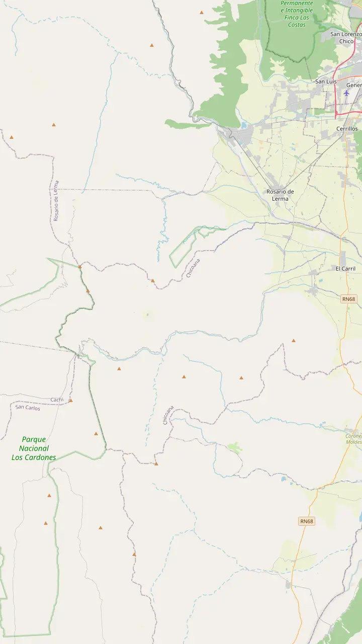
The town named after the Chicoana people, deported here from the Calchaquí Valley.
Google MapsThe green gorge that carries Provincial Route 33 up towards the Calchaquí Valley.
Google MapsEroded rocks, a small lagoon and rock paintings, down a steep side road of 4 km.
Google MapsThe top of the climb at 3,348 m, with a stone chapel and a broken granite millstone.
Google MapsThe high plain you see from Route 33 on the way into the park.
Google MapsThe park's mountain trail, starting at 4,046 m and open from April to November.
Google Maps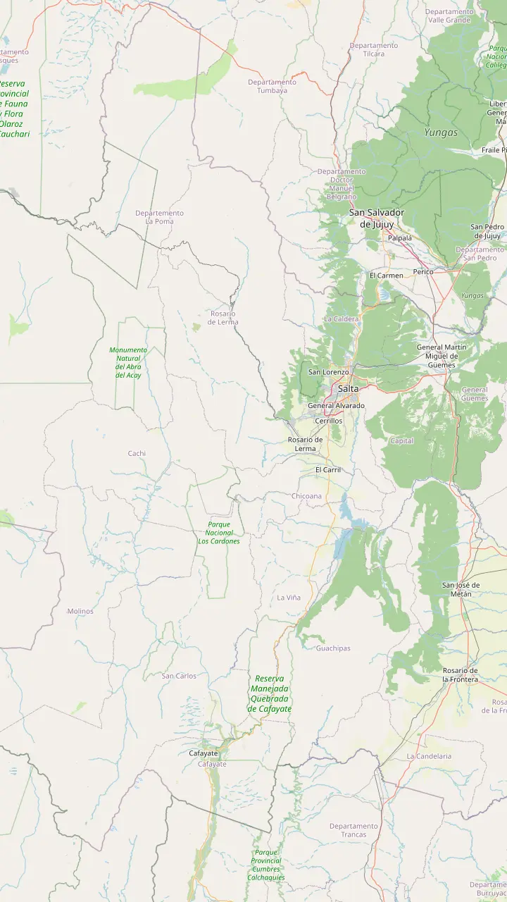
Long-distance coaches from all over Argentina, and the daily buses to Cachi.
Google MapsA Lerma Valley town that the day tour crosses on its way south out of Salta.
Google MapsThe town named after the Chicoana people, deported here from the Calchaquí Valley.
Google MapsThe green gorge that carries Provincial Route 33 up towards the Calchaquí Valley.
Google MapsThe top of the climb at 3,348 m, with a stone chapel and a broken granite millstone.
Google MapsThe long straight road across the cactus plain, on the line of an ancient path.
Google MapsThe park's administrative seat, where red peppers dry in the sun on the farms.
Google MapsThe colonial town 162 km from Salta, at 2,210 m.
Google Maps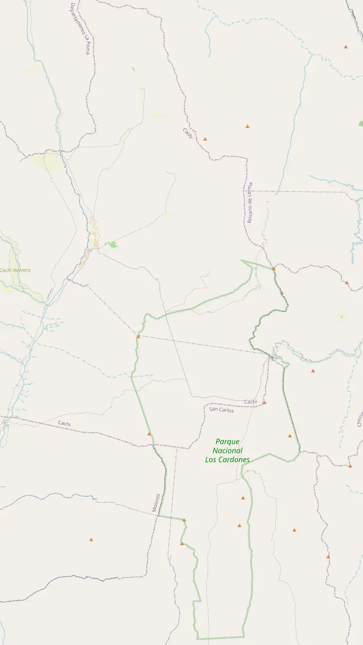
The top of the climb at 3,348 m, with a stone chapel and a broken granite millstone.
Google MapsThe high plain you see from Route 33 on the way into the park.
Google MapsA short path up a hillock beside the road, looking out over the cardones.
Google MapsThe long straight road across the cactus plain, on the line of an ancient path.
Google MapsA churqui forest with the Los Guaipos loop and the Yacoraite campsite.
Google MapsThe park's mountain trail, starting at 4,046 m and open from April to November.
Google MapsThe park's administrative seat, where red peppers dry in the sun on the farms.
Google Maps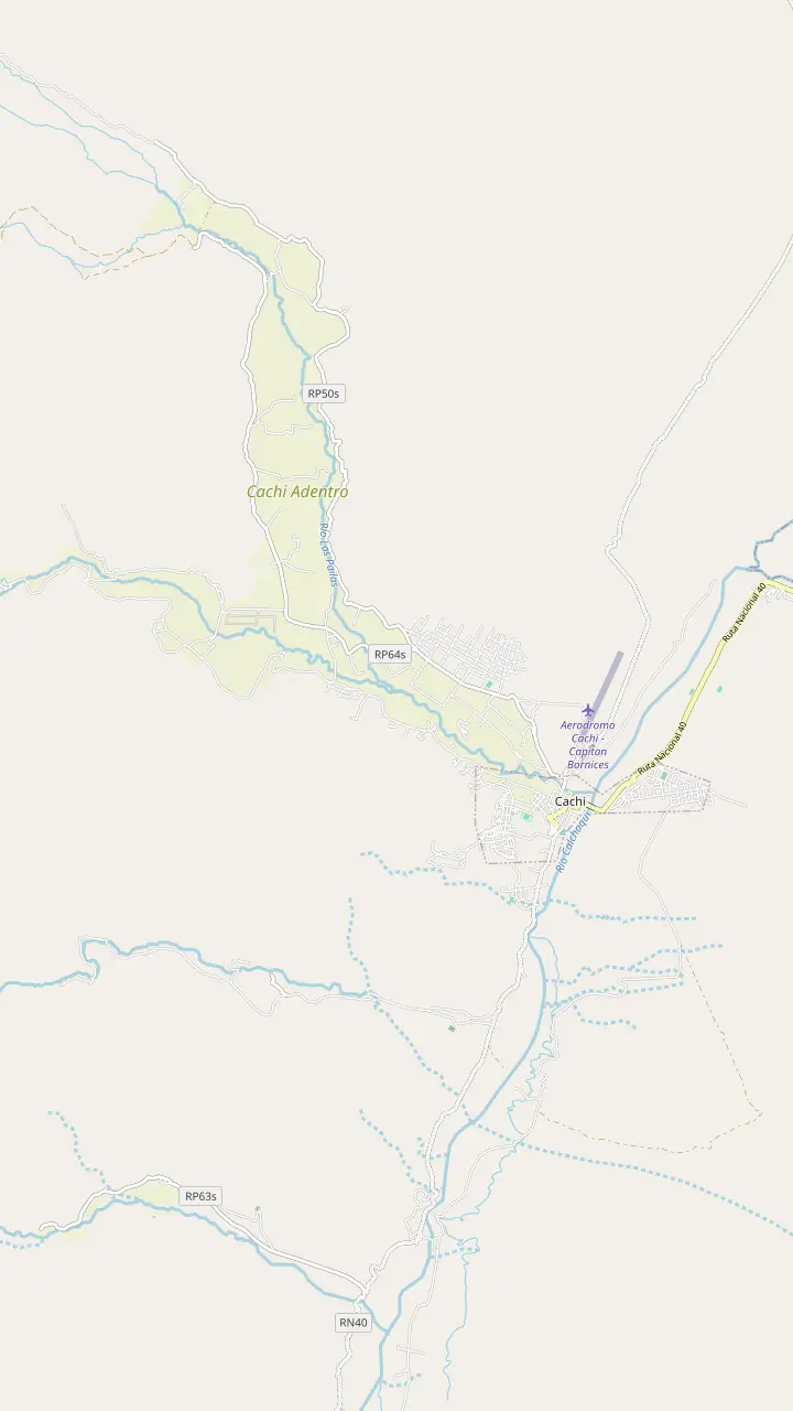
The Pío Pablo Díaz museum, facing the main square beside the San José church.
Google MapsThe street where the wine festival opens with its Fogones del Vino.
Google MapsThe town cemetery, a short walk north of the main square.
Google MapsA hilltop cross north of town with a wide view over the valley floor.
Google MapsThe Star of Hope artwork created 3 km from town, now a viewpoint over the valley.
Google MapsA rural hamlet in the hills west of town, a quiet outing from the square.
Google Maps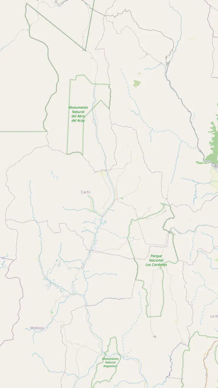
The Pío Pablo Díaz museum, facing the main square beside the San José church.
Google MapsAn archaeological site 12 km from Cachi, facing the snowy Nevado.
Google MapsPre-Columbian ruins in the valley, 14 km from Cachi.
Google MapsThe Star of Hope artwork created 3 km from town, now a viewpoint over the valley.
Google MapsInca shrines and tambos, part of the Qhapaq Ñan World Heritage listing.
Google MapsThe long straight road across the cactus plain, on the line of an ancient path.
Google MapsThe top of the climb at 3,348 m, with a stone chapel and a broken granite millstone.
Google MapsThe highest mountain of the Calchaquí Valleys, the white wall behind the town.
Google Maps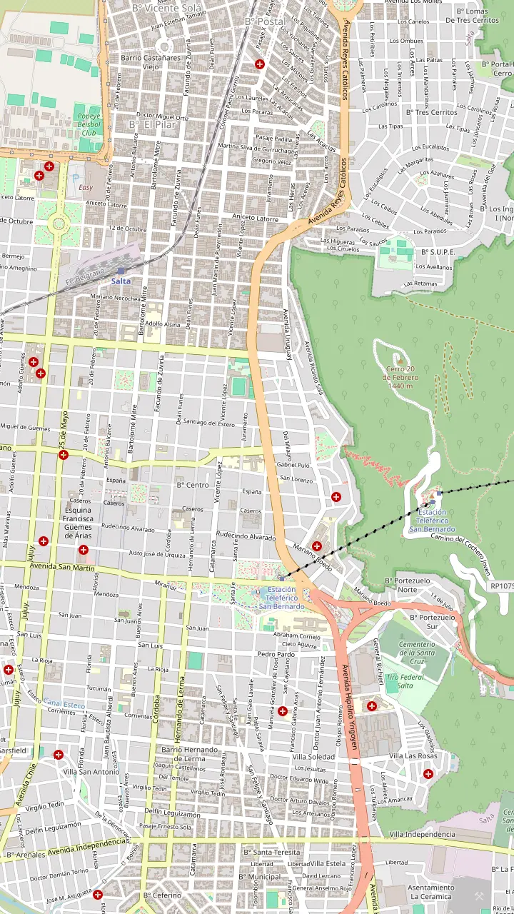
The heart of old Salta, framed by the Cathedral, the Cabildo and the arcades of the historic centre.
Google MapsA National Historic Monument facing the square, home to the sanctuary of the Lord and Virgin of the Miracle.
Google MapsOne of the few almost complete colonial town halls left in Argentina, now a history museum.
Google MapsAn Andean baroque basilica whose bell tower rises 54 m above the street.
Google MapsThe convent whose chapel was begun in 1723, one of the oldest buildings in town.
Google MapsThe high-altitude archaeology museum that keeps the Llullaillaco children, open Tuesday to Sunday.
Google MapsGondolas from Parque San Martín up to the summit, a ride of 10 minutes.
Google MapsSummit gardens and viewpoints, with the cross set up in 1901 and a copper Christ.
Google MapsThe monument to the gaucho general of the independence wars, below the wooded hill.
Google MapsPeñas, bars and regional food along one street, busiest from Thursday to Sunday night.
Google MapsThe historic city market, a good place for a cheap regional lunch.
Google MapsLong-distance coaches from all over Argentina, and the daily buses to Cachi.
Google Maps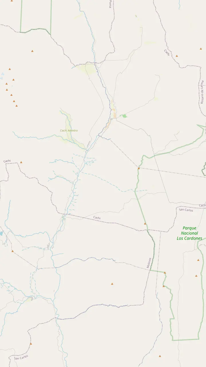
The colonial town 162 km from Salta, at 2,210 m.
Google MapsA rural hamlet in the hills west of town, a quiet outing from the square.
Google MapsPre-Columbian ruins in the valley, 14 km from Cachi.
Google MapsThe park's administrative seat, where red peppers dry in the sun on the farms.
Google MapsA churqui forest with the Los Guaipos loop and the Yacoraite campsite.
Google MapsA valley village reached by Route 42 from the end of the Tin Tin straight.
Google MapsMapping data © OpenStreetMap contributors
The Cuesta del Obispo to Cachi, Salta, is the climb every valley trip begins with: a green gorge, a hairpin road into the clouds and a stone chapel waiting at the top.
Editorial team, cachitour.click · Updated November 12, 2026 · Reading: 8 min
In brief
Nobody drives the Cuesta del Obispo for its own sake at first. It is simply the road from Salta to Cachi, the classic way over the front range into the high Calchaquí Valley. You leave the city through the farms of the Lerma Valley on national route 68, then turn onto provincial route 33, which the park service gives as the line to Piedra del Molino.5 The tobacco sheds and dairy fields give no hint of what is coming.
The change starts in the Quebrada de Escoipe. The provincial tourism board describes the gorge as a natural corridor lived in by rural families who keep their old customs, and it is route 33 that carries you through it towards the Calchaquí Valley.6 The board also calls it a green, zigzagging paradise that surprises you at every step, and for once the brochure language is not far off.7
Just before the gorge you pass Chicoana, a Lerma Valley town with a darker story in its name. The board records that the slope saw the uprooting of the Chicoana people, moved from the Calchaquí Valley to the place that now carries their name.8 Keep that in mind on the way up: the road you are about to climb was a route of exile long before it was a scenic drive.
Distances and heights
| Place | Distance from Salta | Altitude | What you find |
|---|---|---|---|
| Piedra del Molino | 93 km (province) or 97 km (park service) | 3,348 m (also given as 3,800+) | Chapel and millstone |
| Payogasta | 147 km | Not given | Park offices, pepper farms |
| Cachi | 162 km | 2,210 m | Colonial town and museum |
Road distances and heights per the Salta tourism ministry and Parques Nacionales, which measure from different starting points; for Piedra del Molino the province also states over 3,800 m in one place.18,5,20,16,19
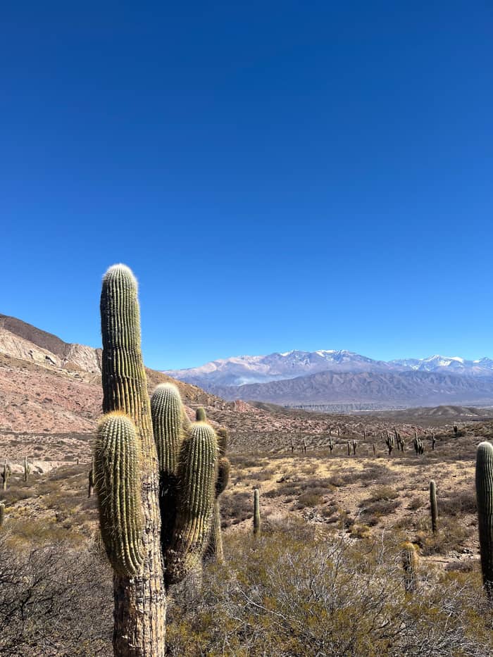
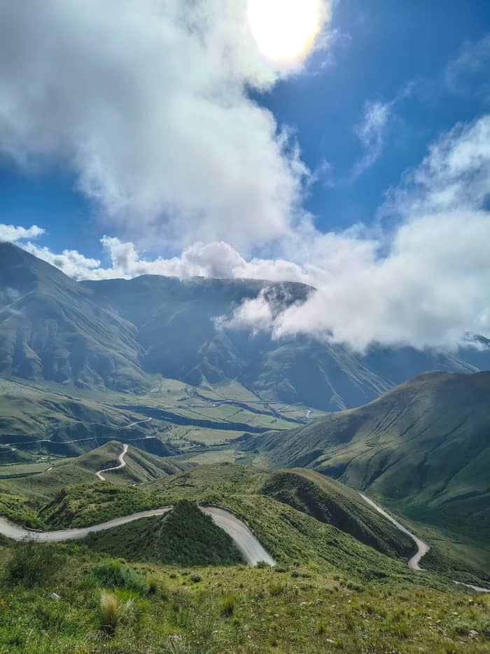
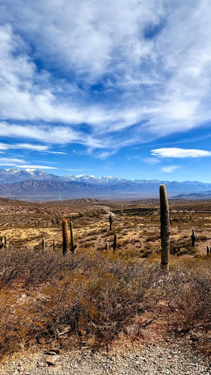
Once the gorge narrows the road begins to fold back on itself. The board counts 60 km of continuous zigzags before you reach 3,348 m.1 Past an iron bridge the scenery turns properly Andean, with hills striped in reddish, yellow and violet stone and the first cardón cactus standing among them.11 Every bend opens a new angle on the bend you just left, which is why passengers keep switching sides of the bus.
The vegetation thins as you rise, from wet green slopes to high grassland. Watch the sky as well as the road. The board notes hummingbirds near the verges and condors that often circle over the whole area.12 Condors ride the warm air that rises up the slopes in the late morning, so a mid-morning crossing on a clear day gives you the best chance of seeing one glide past at eye level.
Cloud is the other actor on this stage. On many mornings the gorge fills with it and the bus climbs straight through the grey layer into sunshine, with a white sea spread below. The park service warns that cloud fronts can cut visibility and drop the temperature abruptly, so keep a fleece within reach even on a warm day in Salta.13 When the cloud lifts, it lifts fast, and the whole staircase of hairpins appears beneath you.
Height on the way
The name is older than the road. According to the provincial board it goes back to 1622, when Bishop Cortázar, the highest church authority of his day, was travelling from Salta to Cachi and moved so slowly that he had to spend the night halfway up.3 People first called the climb the Slope of the Bishop's Sleep, and only later trimmed it to the name you see on the signs.24
Why would a bishop make that journey at all? Because the valley on the far side mattered. The board explains that the Calchaquí Valley was historically far more populated than the Lerma Valley around Salta.25 Its first peoples were subdued by the Incas and later conquered by the Spanish after a long resistance, so the slope was a frontier between a colonial city and a valley that did not surrender easily.26
Travel stayed slow for centuries. Old valley residents told the board that, in colonial times and until the early 20th century, getting from Salta to Molinos took no less than 3 days.27 You rode a horse-drawn coach to the foot of the slope, slept there and went on by mule or on horseback.28 Stretches of that drovers' trail can still be picked out from the modern road.29 Some valley families even own heavy European furniture carried up this way.30
Which way up?
Choose by how much time and nerve you have.
If I want the views with no driving
The day tour
It stops on the slope and in the park on the way to Cachi, from $30.
If I want to see the Valle Encantado
A hire car
The steep detour of 4 km is easier on your own schedule.9
If I travel on a tight budget
The daily bus
Daily services run from Salta to Cachi over the same road.21
If I worry about the height
Go slowly and drink water
How to cross it
Guided
Guide and driver
Self-drive
Your own pace
Local bus
Local service
Today the slope proper is 20 km of wide gravel road that is maintained all year.4 Its surface is irregular for a geological reason: the road crosses a marked fault that you can spot as a yellowish band in the rock.65 Expect smooth tarmac, then washboard gravel, then tarmac again, and drive the unpaved part slower than the locals do.
If you are planning Route 33 from Salta to Cachi on your own, remember how much height you gain on the way to Cachi, 162 km by that road.66 The park service points out that the road climbs from the Lerma Valley at 1,200 m to more than 3,000 m on its way over the slope.15 The provincial board adds a fair warning about mountain roads in general: distances and travel times here may not match what you are used to, so check road conditions before you set off.62
Rain matters more than snow. The province asks drivers to avoid heavy storms, especially on rural roads, fords and anywhere near rivers.67 It also asks you never to cross a flooded road, however low the water looks.68 Along the way the road passes La Herradura, where uranium was first found in Salta in 1959, a small footnote to the climb.69
Price the trip
Compare day trips from Salta that climb the Cuesta del Obispo.
Compare 3 side by side
Compare day trips from Salta that climb the Cuesta del Obispo.
≈
View≈
View≈
ViewStarting prices on GetYourGuide, exchanged at the ECB reference rate. The booking page gives the exact price.
The drive up
Leaving Salta
National route 68 runs south through dairy and tobacco country.5
Chicoana
Named after the people deported here from the Calchaquí Valley.8
Escoipe gorge
The green gorge that leads up towards the Calchaquí Valley.6
The hairpins
Continuous zigzags for 60 km up to 3,348 m.1
Valle Encantado
A steep side road of 4 km to rock shelters and a lagoon.9,10
Piedra del Molino
Near the top of the climb a side track drops into the Valle Encantado, the Enchanted Valley. The board describes wind and rain carving the rock there into strange shapes of striking color, a small lagoon, and paintings left inside caves and rock shelters.70,10 It is also a place where you may see condors, and on a quiet day the silence is almost total.
Getting in takes care. You reach it on a steep side road of 4 km, and a park ranger may be posted on the road towards Tonco.9 The board is clear that you should not drive down if drizzle has wet the track.63 On a dry day take it at walking pace, and turn back if the surface looks slick: a stuck car up here means a long wait.
The valley changes with the seasons. Lagoons form in the rains and freeze over in winter, and in good years the ground is covered with flowers of many colors between the rocks.71,72 The day tour sold here lists no stop there, so the Valle Encantado is a strong reason to drive yourself or to stay a night in the valley and come back for it.
Video
rushinroulette on YouTube · Your tap on play is what loads the video.
In the early days the road was called the Slope of the Bishop's Sleep, but the name was later shortened.
Before the climb
The road levels out at Piedra del Molino, the highest point of the gorge, which the provincial board places at 3,348 m and 93 km from Salta; the park service agrees on 3,348 m, and only the introduction of the provincial page claims more than 3,800 m.18,73,19 The park service measures 97 km to the same spot and treats it as the eastern entrance of Los Cardones National Park, so the figures simply count from different points in the city.5 From here the view reaches back down the whole Quebrada de Escoipe.74
A pair of landmarks wait at the top: a small stone chapel and a granite millstone of several tonnes that gives the place its name.2 The story told locally is that the stone was being hauled by cart in 1927 and split apart under its own weight.75 It was meant for an estate in the valley, and its owners never came back to collect it.76 It has stayed exactly where it fell.
Look west from the chapel and the land opens into a high, dry plain. From route 33 you can make out Cachipampa and the El Hervidero lagoon in the distance.45 This is where the green of the Lerma side ends and the Calchaquí side begins, and the air feels noticeably thinner. Take a few slow breaths before you walk up to the chapel, and do not run for photos.
On the classic Cachi day tour from Salta, the drive to the start of the slope takes about 2 hours by coach. The listing then gives the Cuesta del Obispo a photo stop and short walk of 15 minutes before the bus carries on into the park. The full outing runs 12 hours and the guiding is bilingual, English and Spanish, from $30.
Altitude deserves respect even on a day trip. The NHS notes that altitude sickness usually appears above about 2,500 m, and that you are more likely to get it if you go up quickly.22,77 It adds that trouble tends to begin 6 to 10 hours after you arrive up high, which is why many people feel fine at the top and tired on the drive home.78 Drink plenty of water and skip alcohol on the day.23,61
The hairpins are harder on queasy stomachs than the height. Sit near the front, keep your eyes on the far ridges instead of a screen, and eat a light breakfast instead of none at all. The tour runs whatever the weather, so pack a rain shell in summer and accept that the view can vanish into cloud for a while.
FAQ
In 1622 Bishop Cortázar travelled so slowly from Salta to Cachi that he spent the night on the climb, and the road kept his name.3
Rain does not cancel the day tour from Salta, so bring a waterproof layer in the summer months.
Sources
Further reading
Crossing the Bishop's Slope to Cachi? Ask a real person here.