Air
Plane
Güemes airport
- ServiceDaily flights
- FromBuenos Aires or Córdoba
- ThenTaxi or remis
Locate your stop
Map of 35 stops
First pick a route, then tap any pin or stop for details and Google Maps.
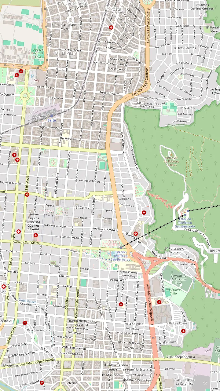
The heart of old Salta, framed by the Cathedral, the Cabildo and the arcades of the historic centre.
Google MapsA National Historic Monument facing the square, home to the sanctuary of the Lord and Virgin of the Miracle.
Google MapsOne of the few almost complete colonial town halls left in Argentina, now a history museum.
Google MapsAn Andean baroque basilica whose bell tower rises 54 m above the street.
Google MapsThe convent whose chapel was begun in 1723, one of the oldest buildings in town.
Google MapsThe high-altitude archaeology museum that keeps the Llullaillaco children, open Tuesday to Sunday.
Google MapsGondolas from Parque San Martín up to the summit, a ride of 10 minutes.
Google MapsSummit gardens and viewpoints, with the cross set up in 1901 and a copper Christ.
Google MapsThe monument to the gaucho general of the independence wars, below the wooded hill.
Google MapsPeñas, bars and regional food along one street, busiest from Thursday to Sunday night.
Google MapsThe historic city market, a good place for a cheap regional lunch.
Google MapsLong-distance coaches from all over Argentina, and the daily buses to Cachi.
Google Maps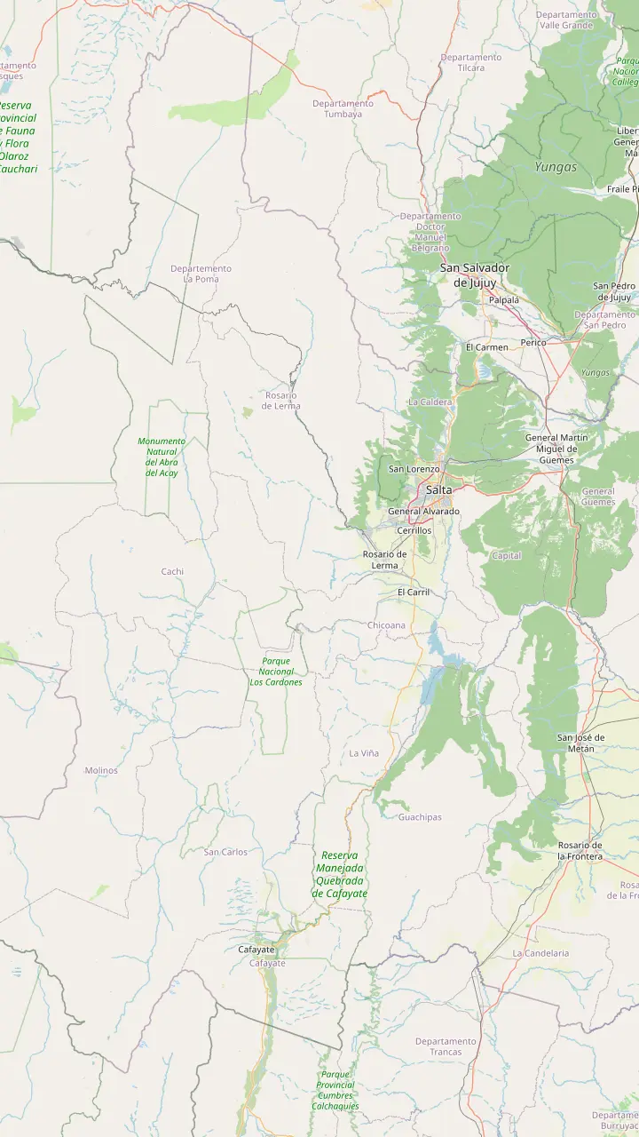
Long-distance coaches from all over Argentina, and the daily buses to Cachi.
Google MapsA Lerma Valley town that the day tour crosses on its way south out of Salta.
Google MapsThe town named after the Chicoana people, deported here from the Calchaquí Valley.
Google MapsThe green gorge that carries Provincial Route 33 up towards the Calchaquí Valley.
Google MapsThe top of the climb at 3,348 m, with a stone chapel and a broken granite millstone.
Google MapsThe long straight road across the cactus plain, on the line of an ancient path.
Google MapsThe park's administrative seat, where red peppers dry in the sun on the farms.
Google MapsThe colonial town 162 km from Salta, at 2,210 m.
Google Maps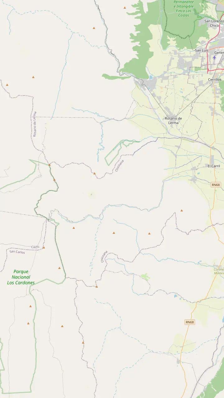
The town named after the Chicoana people, deported here from the Calchaquí Valley.
Google MapsThe green gorge that carries Provincial Route 33 up towards the Calchaquí Valley.
Google MapsEroded rocks, a small lagoon and rock paintings, down a steep side road of 4 km.
Google MapsThe top of the climb at 3,348 m, with a stone chapel and a broken granite millstone.
Google MapsThe high plain you see from Route 33 on the way into the park.
Google MapsThe park's mountain trail, starting at 4,046 m and open from April to November.
Google Maps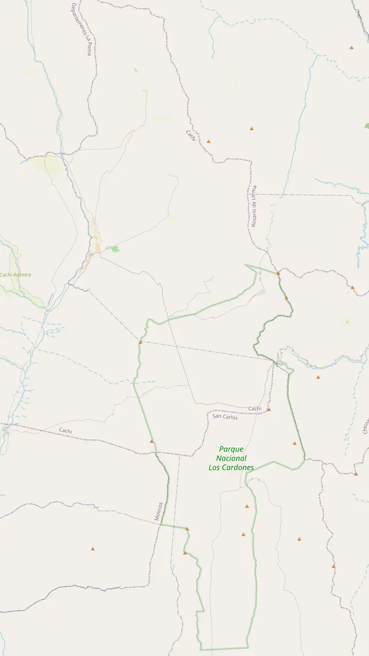
The top of the climb at 3,348 m, with a stone chapel and a broken granite millstone.
Google MapsThe high plain you see from Route 33 on the way into the park.
Google MapsA short path up a hillock beside the road, looking out over the cardones.
Google MapsThe long straight road across the cactus plain, on the line of an ancient path.
Google MapsA churqui forest with the Los Guaipos loop and the Yacoraite campsite.
Google MapsThe park's mountain trail, starting at 4,046 m and open from April to November.
Google MapsThe park's administrative seat, where red peppers dry in the sun on the farms.
Google Maps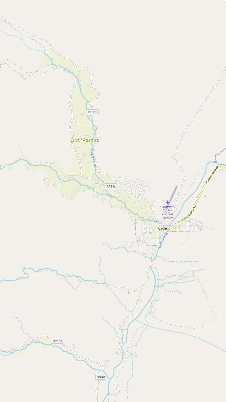
The Pío Pablo Díaz museum, facing the main square beside the San José church.
Google MapsThe street where the wine festival opens with its Fogones del Vino.
Google MapsThe town cemetery, a short walk north of the main square.
Google MapsA hilltop cross north of town with a wide view over the valley floor.
Google MapsThe Star of Hope artwork created 3 km from town, now a viewpoint over the valley.
Google MapsA rural hamlet in the hills west of town, a quiet outing from the square.
Google Maps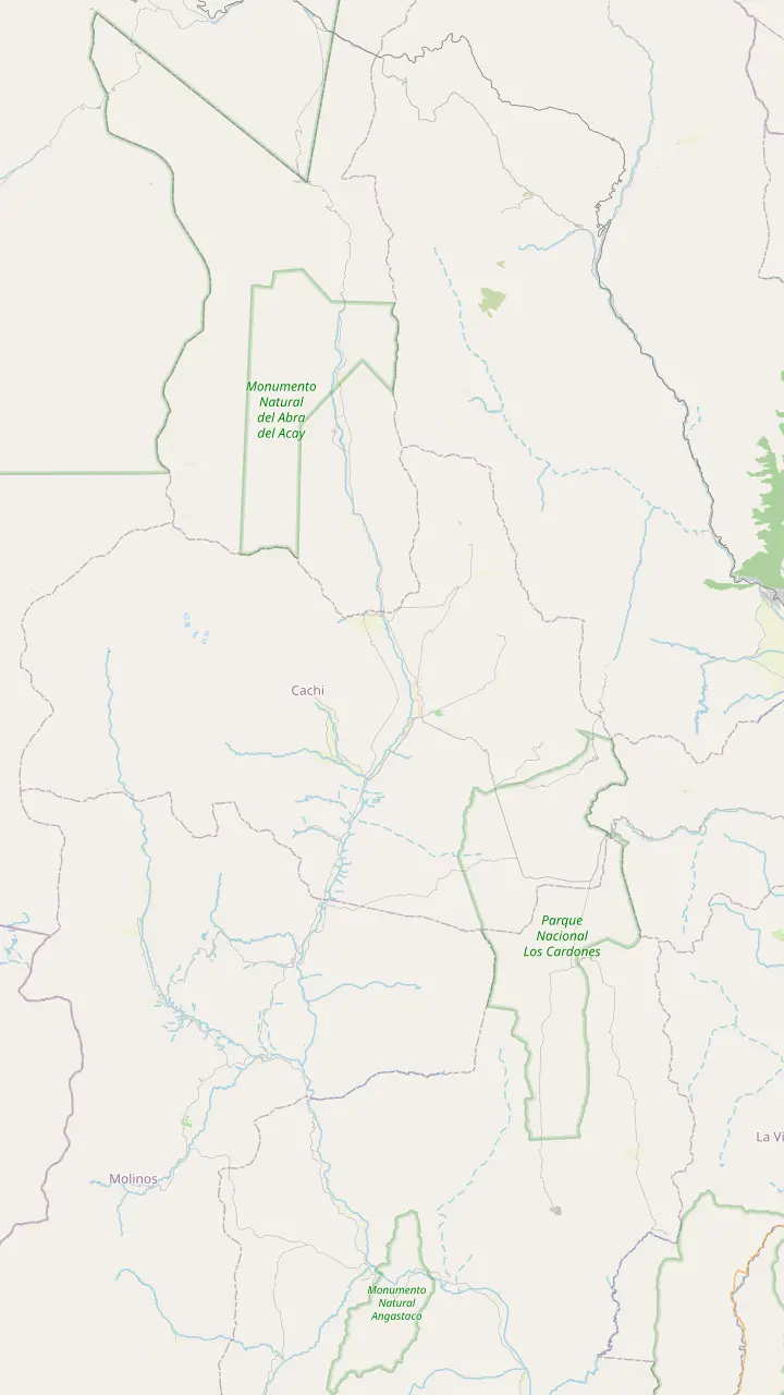
The Pío Pablo Díaz museum, facing the main square beside the San José church.
Google MapsAn archaeological site 12 km from Cachi, facing the snowy Nevado.
Google MapsPre-Columbian ruins in the valley, 14 km from Cachi.
Google MapsThe Star of Hope artwork created 3 km from town, now a viewpoint over the valley.
Google MapsInca shrines and tambos, part of the Qhapaq Ñan World Heritage listing.
Google MapsThe long straight road across the cactus plain, on the line of an ancient path.
Google MapsThe top of the climb at 3,348 m, with a stone chapel and a broken granite millstone.
Google MapsThe highest mountain of the Calchaquí Valleys, the white wall behind the town.
Google Maps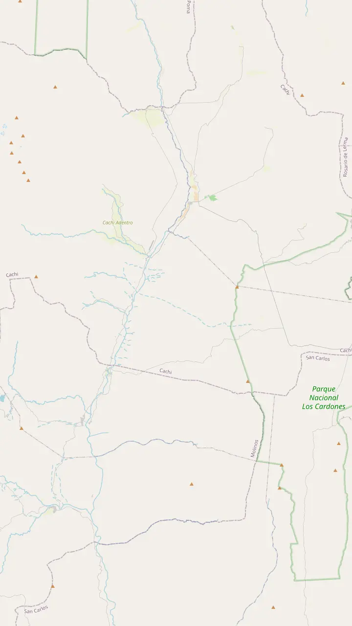
The colonial town 162 km from Salta, at 2,210 m.
Google MapsA rural hamlet in the hills west of town, a quiet outing from the square.
Google MapsPre-Columbian ruins in the valley, 14 km from Cachi.
Google MapsThe park's administrative seat, where red peppers dry in the sun on the farms.
Google MapsA churqui forest with the Los Guaipos loop and the Yacoraite campsite.
Google MapsA valley village reached by Route 42 from the end of the Tin Tin straight.
Google MapsMapping data © OpenStreetMap contributors
What is Salta? The colonial capital of a vast northern province, a city of arcades, churches and folk music, and the base for every trip to Cachi and the high valleys.
Editorial team, cachitour.click · Updated November 12, 2026 · Reading: 7 min
So what is Salta? It is the capital of Salta province, set in the Lerma Valley at 1,187 m above sea level.1 Around 700,000 people live here, and the provincial board likes to point out how young the population is.2 The national tourism board explains the nickname you will hear everywhere: Salta is known as La Linda, the beautiful one.4
The city began on 16 April 1582, when Hernando de Lerma founded San Felipe de Lerma on the orders of the viceroy of Peru.3 Its place on the Camino Real, the colonial trade road between Peru and Buenos Aires, made it a key stop for merchants and mule trains.6 That wealth paid for the churches and arcaded buildings that still frame the old center.
Salta also sits in the story of independence. The Battle of Salta was fought on 20 February 1813, led by General Manuel Belgrano.7 The province itself was created by a decree of 8 October 1814, carved out of the old colonial intendancy.8 The railway arrived in 1880 and tied the north to the rest of the country, and today the city is the gateway to the Calchaquí Valleys, the Puna and the road to Cachi.9
Sights at a glance
| Sight | Good to know | Detail |
|---|---|---|
| MAAM | Tuesday to Sunday | 11:00 to 19:00 |
| Cabildo museum | Colonial town hall | 9 rooms |
| San Francisco | Andean baroque | 54 m bell tower |
| San Bernardo convent | Chapel begun 1723 | View from the street |
| Cable car | From Parque San Martín | 10-minute ride |
| Cathedral | Miracle procession | 15 September |
Hours and details from the MAAM, the cable car company and the provincial tourism board.12,28,29,30,31,32
For anyone planning how to get to Salta from Buenos Aires, a flight is the fast option. Martín Miguel de Güemes International Airport handles all of the province's air traffic, and the park service notes daily flights from Buenos Aires and Córdoba.17,18 From the airport, taxis and remis cars cover the short ride into the center, and app cabs work in the city too.19
Long-distance buses are the budget option. The national tourism board says Salta has bus connections from all over the country, and the coaches pull into the city bus terminal, a short taxi ride from the main square.20 Driving is a real expedition, and the board gives 1,500 km from Buenos Aires on national routes 34 and 9, several long days at the wheel.21 The provincial board, measuring to the province rather than the city, gives 1,616 km.22
Once you arrive, getting around is easy. Taxis, remis cars, ride apps and SAETA city buses cover the center and the suburbs.19 If you need help or lose something, the Tourist Police office on Mitre, number 23, keeps hours from 7:00 to 23:00 for visitors.23 The old center is compact enough to walk, and nearly every sight in this guide is a short stroll from the cathedral.
Start on Plaza 9 de Julio, the heart of the historic center.35 The national tourism board lists the Cabildo, the Cathedral, San Francisco church, the San Bernardo convent, the square itself and the crafts market as the core of a first walk.35 Arcades run around the square, cafés put tables under them, and in the evening the whole space fills with families.
The cathedral faces the square. It went up in the mid-19th century, combining baroque elements with an Italianate front.10 It is a National Historic Monument and holds the sanctuary of the Lord and the Virgin of the Miracle, the city's patron images.36 Every 15 September since 1692, crowds follow them through the streets, and some pilgrims walk for 15 days to arrive in time.32,37
Across the square stands the Cabildo, the old colonial town hall, which the provincial board counts among the few almost complete cabildos left in Argentina.38 Inside, the Museo Histórico del Norte spreads over 9 rooms on 2 floors.28 The provincial board calls it one of the best preserved in the country, and a slow walk along its upper gallery gives you the classic view over the square.11
Your Salta day
Pick what you care about most, and build the day around it.
If I want the city in one morning
The half-day city tour
Center, convent and Cerro San Bernardo in 4 hours, from $20.
If I want the Inca story
The MAAM
Home to the Llullaillaco children, open from Tuesday to Sunday.12
If I want the best view
The cable car
A ride of 10 minutes to the top of Cerro San Bernardo.31
If I want music and dancing
A peña on Balcarce
Folk venues fill on Thursday to Sunday nights.33
If I want to cook
An empanada class
A small-group class of 2 hours near San Francisco, from $65.
If I want the mountains
The Cachi day tour
The Bishop's Slope, Los Cardones and Cachi, from $30.
Arriving from Buenos Aires
Air
Güemes airport
Coach
City terminal
Self-drive
Routes 34 and 9
A few blocks east, the San Francisco basilica is the showpiece of the city's churches. The provincial board calls it a fine example of Andean baroque, and says its bell tower is 54 m tall, the tallest in South America.14,29 The convent museum tells the history of the basilica, and the board mentions a mapping show on the facade called Lights of Peace and Good.70
Keep walking east and you reach the San Bernardo convent, whose chapel was begun in 1723, deep in the colonial era.30 The provincial board names it, together with the dome and nave of San Francisco, among the few surviving examples of colonial religious building in the city. Seeing both on the same walk is the quickest lesson in how the old builders of Salta worked with stone, adobe and wood, long before the Italian-style facades of the later boom.
If churches are your thing, join the walking circuit of 7 churches that the province runs every Saturday of the year.71 The short version links the cathedral, San Francisco and a handful of other temples; the full version adds more and ends at San Bernardo. For a single morning, the guided half-day city tour links the square, the cathedral, the Cabildo museum, San Francisco and San Bernardo with a stop on Cerro San Bernardo, from $20.
Price your city day
Compare guided ways to see and taste the city.
Compare 3 side by side
Compare guided ways to see and taste the city.
≈
View≈
View≈
ViewStarting prices on GetYourGuide, exchanged at the ECB reference rate. The booking page gives the exact price.
A day in Salta
Morning
Coffee under the arcades, then the cathedral.10
Late morning
A colonial town hall with a history museum inside.11
Midday
Doors open at 11:00, from Tuesday to Sunday.12
Lunch
Empanadas and regional dishes at the historic market.13
Afternoon
The Andean baroque basilica and its tall tower.14
Sunset
Ride the cable car for the city lights.15
Night
Folk music and dancing in a peña.16
The one museum you should not skip is the MAAM, the Museum of High Mountain Archaeology, opened in 2004 in the city center.72 It exists to protect an extraordinary find: in March 1999 a team found the bodies of Inca children with a large set of offerings on the summit of the Llullaillaco volcano.73 The volcano rises to 6,739 m in the far west of the province.26
The children are known today as the Maiden, the Boy and the Lightning Girl.5 The Maiden was about 15 years old when she was offered on the summit.74 They were offered to the gods in the Capacocha, among the most important ceremonies of the Inca ritual calendar.34 For conservation, the museum shows the children one at a time, in rotation, kept in special capsules.75 Visitors should come prepared for a moving, quiet experience rather than a spectacle.
The MAAM opens Tuesday to Sunday from 11:00 to 19:00, with last entry at 18.30 on each opening day.12 Guided visits, at no cost beyond the entry ticket, run Tuesday to Friday at 16.30 for up to 20 people and last about 40 minutes, in Spanish only.66 All texts are in Spanish and English, the building is wheelchair accessible, and photos or filming are not allowed inside the rooms.76,77,78
Video
Trek n Eats on YouTube · Your tap on play is what loads the video.
The Capacocha was one of the most important ceremonies of the Inca ritual calendar.
In the city
The easiest view of Salta is from Cerro San Bernardo. The cable car leaves from Parque San Martín and arrives at the summit of the hill.39 Its operator dates the opening to 12 December 1987, while Salta tourism says assembly ended the following year.79,80 The stations are 1,016 m apart, and the height difference between them is 284.90 m.81 The ride takes 10 minutes, long enough to watch the grid of the city shrink beneath you.31
At the top you find gardens, viewpoints, cafés and a crafts market. The summit cross was set up in 1901 to mark the start of the century, and a copper statue of Christ weighing 2 tonnes followed in 1903 on the same summit.40,41 The provincial board recommends staying for the sunset, when the lights of the city come on below.15
You can also drive or walk up. The paved access road up the hill is 3,796 m long.82 At the foot of the hill stands the monument to General Güemes, the gaucho leader of the independence wars, and the busy Paseo Güemes of restaurants starts from there. Combine the cable car, the monument and an early dinner nearby for an easy first evening in Salta.
Start with the empanada. The provincial board describes the local version as made with knife-cut meat, and Salta celebrates Empanada Day every 4 April with a contest of municipal champions.68,83 Maize is the base of the regional kitchen, which gives you tamales and humitas, while paprika and cumin come from the Calchaquí Valleys.84 Locro, a hearty soup of maize and meat, is the dish for a cold evening.69
As for where to eat in Salta, follow the locals to a few corridors. The board says Paseo Balcarce fills especially on Thursday, Friday, Saturday and Sunday nights, and suggests booking ahead.33,67 The national board describes the same street as lined with bars, regional restaurants and the classic folk peñas.16 For a cheap and lively lunch, the historic San Miguel market is close to the center.13
A peña is the night you will remember. The national board names Balderrama and Los Gauchos de Güemes among the classic venues, with zamba, chacarera, baguala, carnavalito and northern cueca on the program.85,86 Paseo de los Poetas, founded in 2005 over an old canal, is home to the famous Peña Balderrama.87 To cook rather than just eat, a small-group empanada class of 2 hours starts near San Francisco, from $65.
FAQ
The museum opens from 11:00 to 19:00, with last entry at 18.30, and is closed on Mondays.12
A guided city tour of 4 hours with pickup covers the center and Cerro San Bernardo, with a guide in Spanish.
Sources
Further reading
Crossing the Bishop's Slope to Cachi? Ask a real person here.