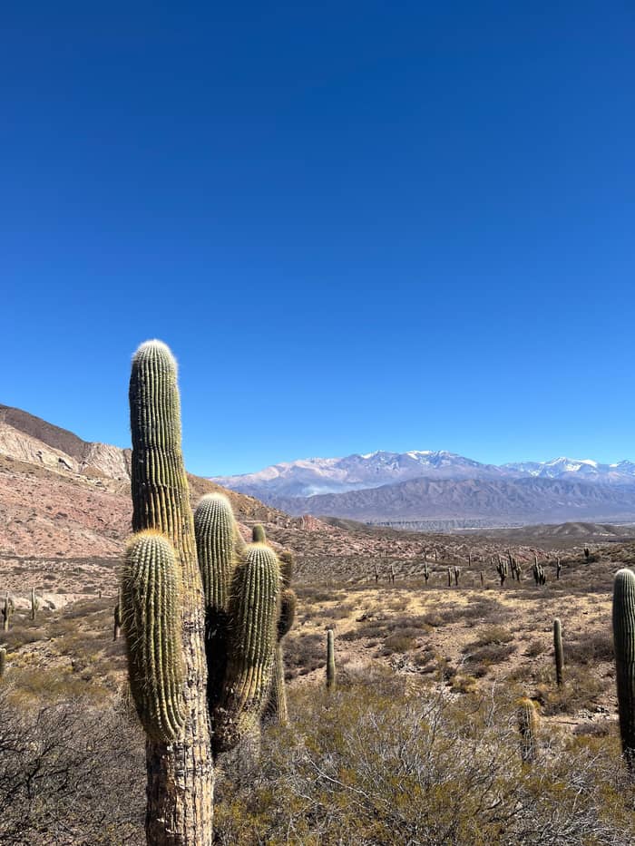
Views
Las Pailas
North of town
- Distance12 km from Cachi
- HighlightNevado views
- Getting thereCar or guide
Locate your stop
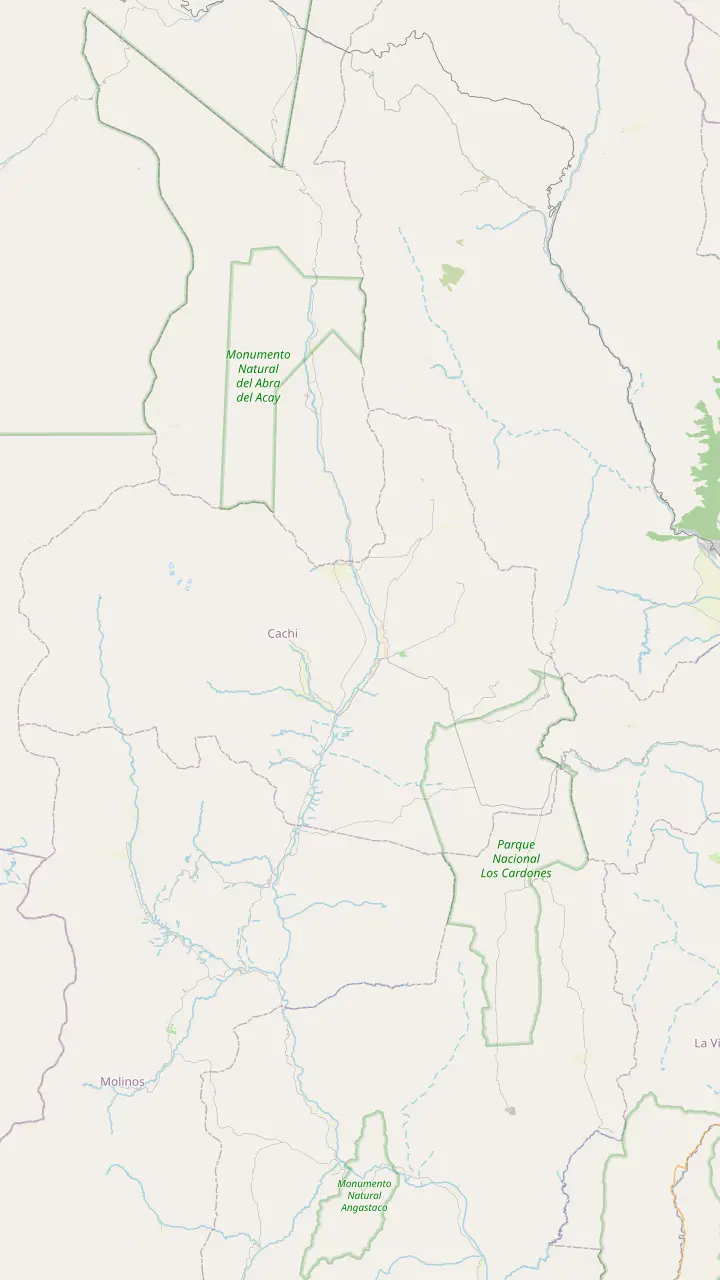
Map of 35 stops
First pick a route, then tap any pin or stop for details and Google Maps.
The Pío Pablo Díaz museum, facing the main square beside the San José church.
Google MapsAn archaeological site 12 km from Cachi, facing the snowy Nevado.
Google MapsPre-Columbian ruins in the valley, 14 km from Cachi.
Google MapsThe Star of Hope artwork created 3 km from town, now a viewpoint over the valley.
Google MapsInca shrines and tambos, part of the Qhapaq Ñan World Heritage listing.
Google MapsThe long straight road across the cactus plain, on the line of an ancient path.
Google MapsThe top of the climb at 3,348 m, with a stone chapel and a broken granite millstone.
Google MapsThe highest mountain of the Calchaquí Valleys, the white wall behind the town.
Google Maps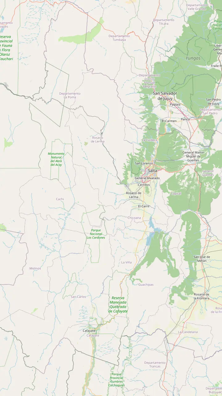
Long-distance coaches from all over Argentina, and the daily buses to Cachi.
Google MapsA Lerma Valley town that the day tour crosses on its way south out of Salta.
Google MapsThe town named after the Chicoana people, deported here from the Calchaquí Valley.
Google MapsThe green gorge that carries Provincial Route 33 up towards the Calchaquí Valley.
Google MapsThe top of the climb at 3,348 m, with a stone chapel and a broken granite millstone.
Google MapsThe long straight road across the cactus plain, on the line of an ancient path.
Google MapsThe park's administrative seat, where red peppers dry in the sun on the farms.
Google MapsThe colonial town 162 km from Salta, at 2,210 m.
Google Maps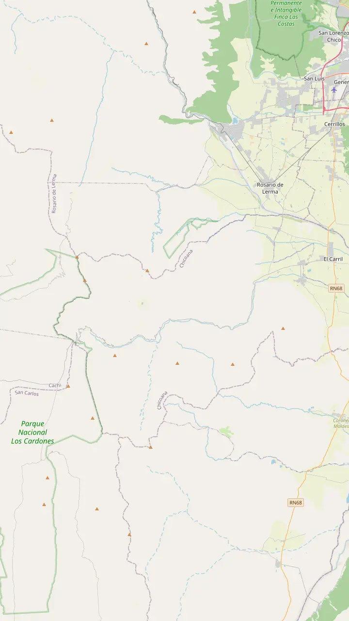
The town named after the Chicoana people, deported here from the Calchaquí Valley.
Google MapsThe green gorge that carries Provincial Route 33 up towards the Calchaquí Valley.
Google MapsEroded rocks, a small lagoon and rock paintings, down a steep side road of 4 km.
Google MapsThe top of the climb at 3,348 m, with a stone chapel and a broken granite millstone.
Google MapsThe high plain you see from Route 33 on the way into the park.
Google MapsThe park's mountain trail, starting at 4,046 m and open from April to November.
Google Maps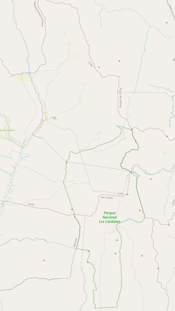
The top of the climb at 3,348 m, with a stone chapel and a broken granite millstone.
Google MapsThe high plain you see from Route 33 on the way into the park.
Google MapsA short path up a hillock beside the road, looking out over the cardones.
Google MapsThe long straight road across the cactus plain, on the line of an ancient path.
Google MapsA churqui forest with the Los Guaipos loop and the Yacoraite campsite.
Google MapsThe park's mountain trail, starting at 4,046 m and open from April to November.
Google MapsThe park's administrative seat, where red peppers dry in the sun on the farms.
Google Maps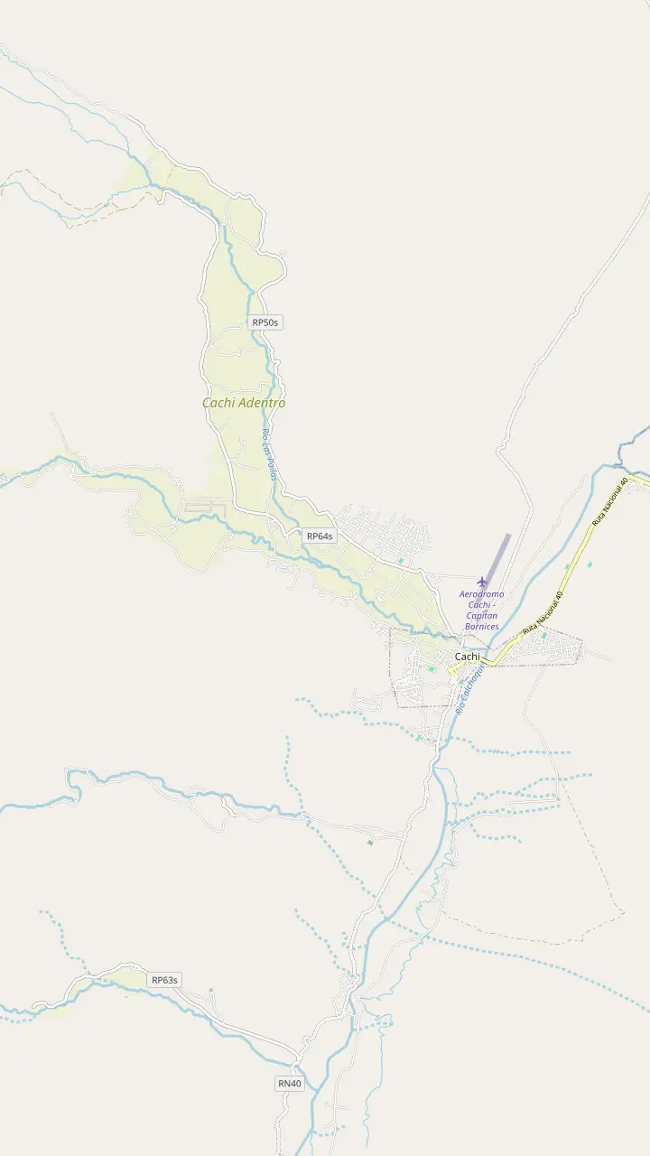
The Pío Pablo Díaz museum, facing the main square beside the San José church.
Google MapsThe street where the wine festival opens with its Fogones del Vino.
Google MapsThe town cemetery, a short walk north of the main square.
Google MapsA hilltop cross north of town with a wide view over the valley floor.
Google MapsThe Star of Hope artwork created 3 km from town, now a viewpoint over the valley.
Google MapsA rural hamlet in the hills west of town, a quiet outing from the square.
Google Maps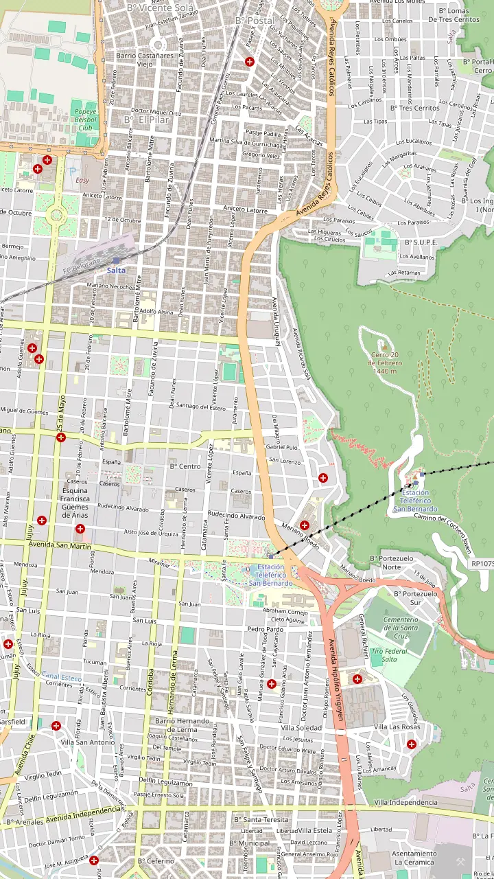
The heart of old Salta, framed by the Cathedral, the Cabildo and the arcades of the historic centre.
Google MapsA National Historic Monument facing the square, home to the sanctuary of the Lord and Virgin of the Miracle.
Google MapsOne of the few almost complete colonial town halls left in Argentina, now a history museum.
Google MapsAn Andean baroque basilica whose bell tower rises 54 m above the street.
Google MapsThe convent whose chapel was begun in 1723, one of the oldest buildings in town.
Google MapsThe high-altitude archaeology museum that keeps the Llullaillaco children, open Tuesday to Sunday.
Google MapsGondolas from Parque San Martín up to the summit, a ride of 10 minutes.
Google MapsSummit gardens and viewpoints, with the cross set up in 1901 and a copper Christ.
Google MapsThe monument to the gaucho general of the independence wars, below the wooded hill.
Google MapsPeñas, bars and regional food along one street, busiest from Thursday to Sunday night.
Google MapsThe historic city market, a good place for a cheap regional lunch.
Google MapsLong-distance coaches from all over Argentina, and the daily buses to Cachi.
Google Maps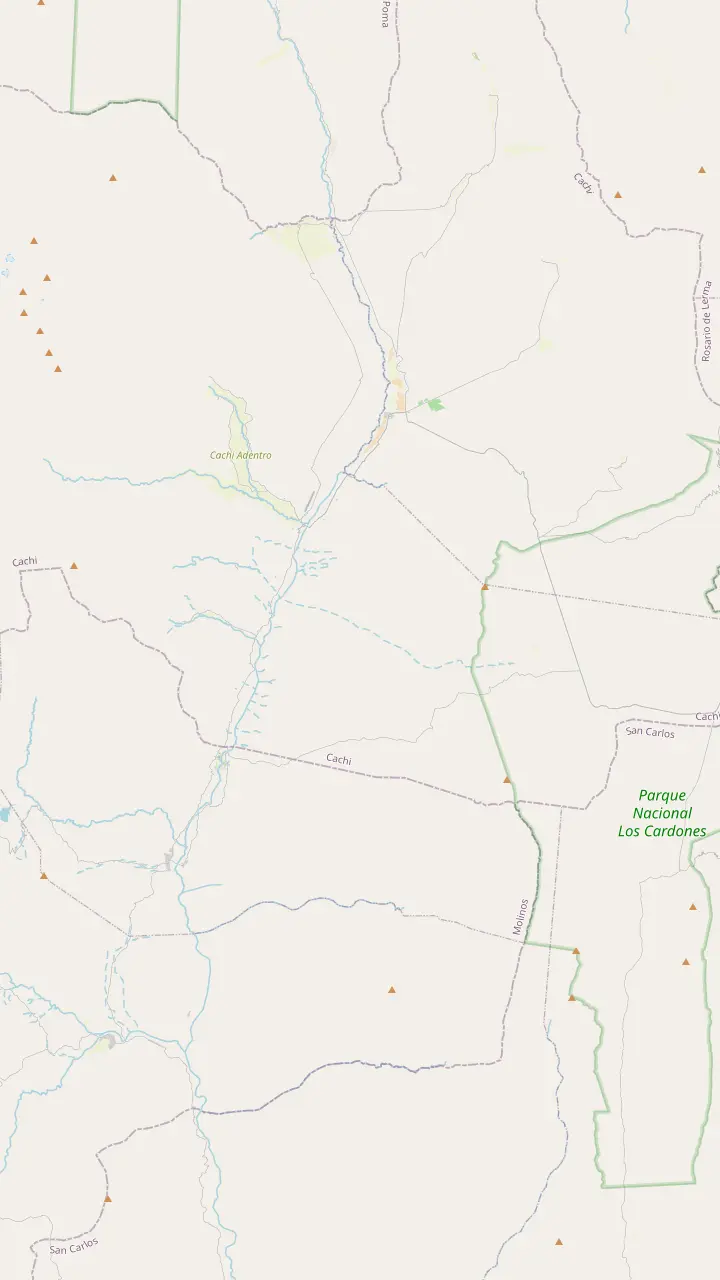
The colonial town 162 km from Salta, at 2,210 m.
Google MapsA rural hamlet in the hills west of town, a quiet outing from the square.
Google MapsPre-Columbian ruins in the valley, 14 km from Cachi.
Google MapsThe park's administrative seat, where red peppers dry in the sun on the farms.
Google MapsA churqui forest with the Los Guaipos loop and the Yacoraite campsite.
Google MapsA valley village reached by Route 42 from the end of the Tin Tin straight.
Google MapsMapping data © OpenStreetMap contributors
The history of Cachi, Salta, runs from Diaguita villages and an Inca road to a colonial hacienda town, a cactus-wood church and a giant star that some call a UFO airport.
Editorial team, cachitour.click · Updated November 12, 2026 · Reading: 7 min
The history of Cachi, Salta, begins long before the town. The park service says the lands of Los Cardones National Park have been occupied by people for 10,000 years, and that more than 20 families still live inside the park today.1 The oldest traces are stone tool workshops at the mouths of the gorges that border the Cachipampa and Tin Tin plains, the same plains your bus crosses today.6
Later farming peoples left more visible marks. The park service dates its Formative Period to between 2,000 and 1,000 years before present, represented by isolated round stone enclosures on the Filo del Pelado range.7 The period of regional cultures that followed left rock shelters with paintings, stone rooms and Santamariana pottery.8 Rock paintings can also be seen in caves and shelters of the Valle Encantado, just off the road to Cachi.9
Even the town's name carries this deep past. The provincial board explains that in the Cacán language Cachi joins kak, meaning crag or rock, with chi, meaning silence or solitude, while in Kunsa it means a beautiful place.10 Stand on the square at dusk, with the Nevado turning pink above the rooftops and the valley gone quiet, and both translations feel exactly right.
The periods
| Period | When | What it left |
|---|---|---|
| Hunter-gatherers | From 10,000 years ago | Stone tool workshops |
| Formative | 2,000 to 1,000 years ago | Round stone enclosures |
| Regional cultures | Before the Inca | Painted shelters, Santamariana pottery |
| Inca | 15th century | Roads, tambos, shrines |
| Colonial | From the 16th century | Haciendas, adobe towns, the church |
Periods from the park service, the provincial tourism board and the Cachi museum.1,7,8,2,13
By around 1000 BC the Diaguita-Calchaquí had settled, mainly in the Calchaquí Valleys, according to the provincial board.11 Their pottery designs live on: potters in Cachi still decorate their work with motifs taken from pre-Hispanic ware.17 Before the conquest, the valley floor around Cachi held far more people than the green Lerma basin where the colonial capital would later rise.18
You can still walk among what they built. La Paya, a pre-Columbian site, lies 14 km out of town by the park service's count.19 Closer in, at 12 km, the same source sends you to Las Pailas near Cachi, Salta, where old walls face the full height of the Nevado.20 Both are best reached by car or with a local guide, and on a weekday you may well have the stones and the wind to yourself.
Treat these sites with care. Walls that have stood for centuries can be knocked down by a single careless climber, and pottery fragments on the ground belong where they lie. The town museum is the place to see what has been dug up properly and documented, so visit it before or after the ruins and the scattered stones will suddenly make sense.
In the 15th century the Incas took control of the region and made it part of their empire, imposing Quechua as a language.2 Their road system, the Qhapaq Ñan or main road, ran close to 6,000 km from north to south.26 Counting all its branches, the provincial board puts the network at no less than 23,000 km.27 The Incas reused roads that already existed, so many stretches are more than 2,000 years old.28
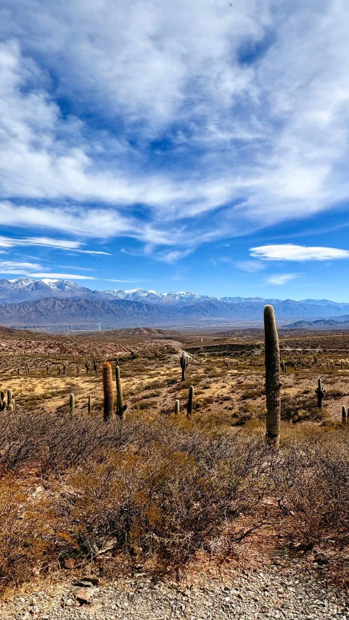
The most famous stretch near Cachi is the Recta del Tin Tin. The board describes it as a former pre-Columbian road that is now a paved valley highway, laid out dead straight where the ground was flat.24 Tradition says native builders kept it true by lighting fires as markers.29 Along such roads walked chasqui messengers and llamas carrying 30 to 40 kg on their backs.30 Where the road had to climb, ramps rarely exceeded 20 degrees.31
Along the roads the Incas built tambos, lodges for officials and stores of food, firewood, fodder, clothing and weapons.32 North of Cachi, Potrero de Payogasta has shrines, tambos and cemeteries built between 1450 and 1530, and UNESCO lists it as World Heritage within the Qhapaq Ñan.12,33 The international Qhapaq Ñan project that led to that listing began in 2002, joining Argentina, Peru, Bolivia, Chile, Colombia and Ecuador.34
Where to start
Pick the thread of the past you want to see first.
If I want the full picture before the ruins
The Cachi museum
Over 5,000 objects spanning some 10,000 years of local life.22,23
If I want to walk an Inca road
The Recta del Tin Tin
A former pre-Columbian road on the drive to Cachi.24
If I want ruins with a view
Las Pailas
Ruins 12 km from town facing the Nevado.20
If I want a legend and a sunset
The Ovnipuerto
A giant star-shaped artwork 3 km from town and a valley viewpoint.5,25
If I want it explained by a guide
The Cachi day tour
Stops on the slope, in the park and in town, from $30.
Ruins compared
Views
North of town
Pre-Inca
South of town
World Heritage
Inca site
The Spanish reached the area around the 16th century, starting a long process of cultural exchange and mixing.13 It was not a quick conquest. The provincial board notes that the valley's peoples, already subdued by the Incas, were conquered by the Spanish only after a long resistance.14 Salta itself was founded on 16 April 1582, as a colonial base on the trade road from Peru.75,76
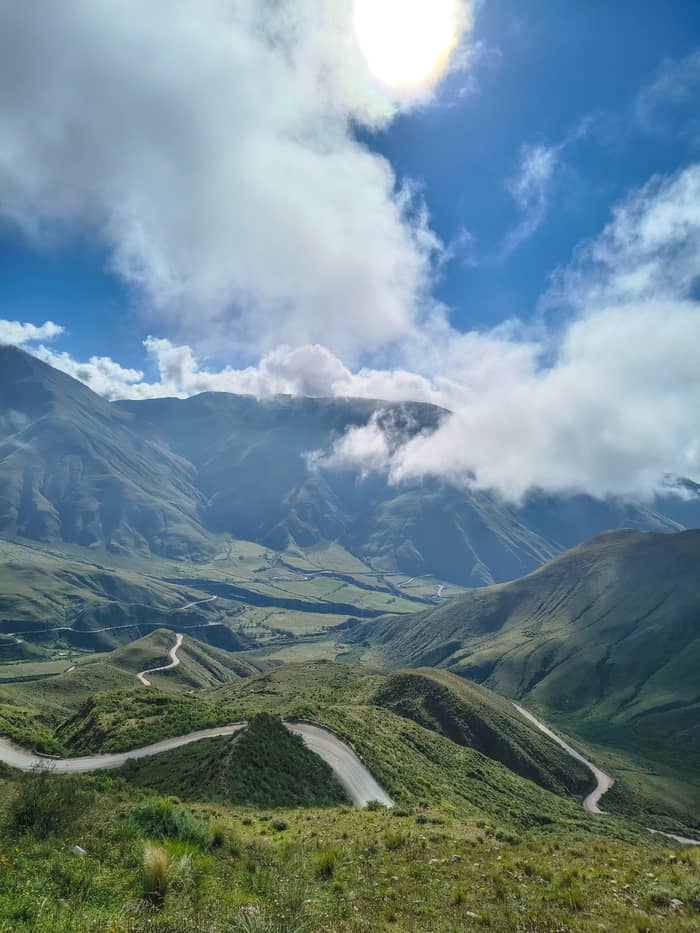
The aftermath was harsh. The Chicoana people were torn from their valley and marched over the mountains to the Lerma side, where a town still bears their name today.50 When you drive up the Cuesta del Obispo, you are following, in reverse, a route of forced exile, and the empty high plains you cross were once part of a far busier world.
The slope itself takes its name from that colonial era. In 1622 Bishop Cortázar, travelling from Salta to Cachi, moved so slowly that he spent the night halfway up, and the road was first called the Slope of the Bishop's Sleep.15,77 Into the early 20th century, reaching Molinos from the capital still meant a journey of at least 3 days, with a coach for the flat stretch and mules for the mountain.78,79
Price the trip
Compare day trips from Salta that reach Cachi.
Compare 3 side by side
Compare day trips from Salta that reach Cachi.
≈
View≈
View≈
ViewStarting prices on GetYourGuide, exchanged at the ECB reference rate. The booking page gives the exact price.
Through the ages
10,000 years ago
People arrive in the lands of today's park.1
About 1000 BC
The Diaguita-Calchaquí settle the valleys.11
15th century
The region joins the Inca empire.2
1450 to 1530
Inca shrines, tambos and cemeteries are built.12
16th century
1622
A bishop sleeps halfway up the slope.15
1969
The Pío Pablo Díaz collection goes on show.4
2026
Cachi represents Argentina in Best Tourism Villages.16
Under Spanish rule the old Diaguita settlement became the Hacienda de Cachi, a large estate, and the town took shape around it; the province now praises how well that core survives.3 Work on the parish church started back in the 16th century, according to the national board, and the building carries national monument status today.80 Its roofs of cardón wood are a direct link between the town and the cactus forests on the road in.71
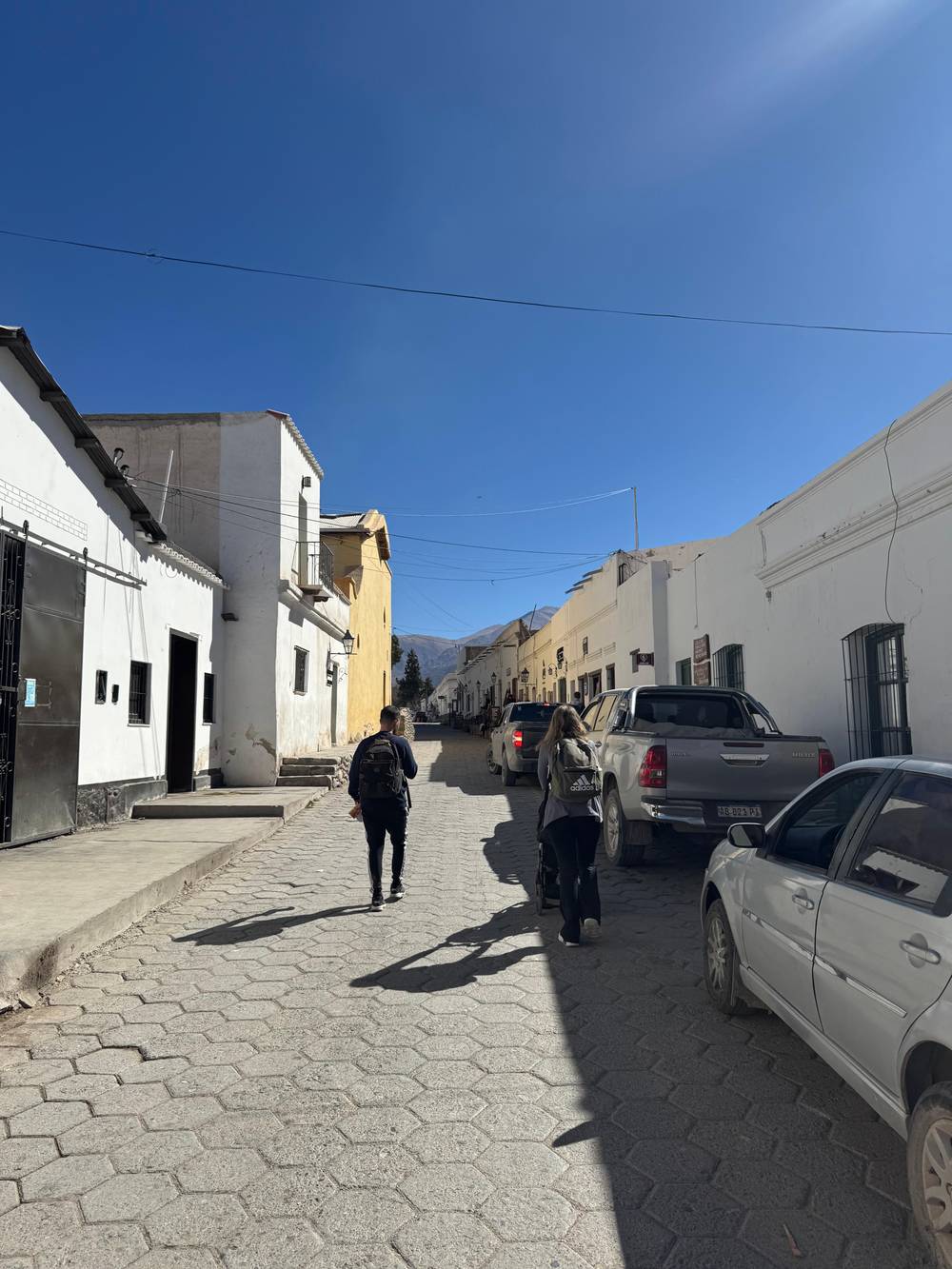
The streets tell the rest. Heavy adobe, raised sidewalks and paired doors cut into street corners are the details the park service picks out, a townscape that seems to wind the clock back to colonial days.81 In 2026 that preserved center helped Cachi become Argentina's candidate in the Best Tourism Villages program of UN Tourism.16,82 Walk the side streets slowly and you will see the same old doors, raised pavements and adobe walls on almost every block.
Faith here mixes old and new. The park service says local people honor the Pachamama, or Mother Earth, Coquena, the protector of the guanacos, the Virgin Mary and Saint Joseph.83 Each August the Pachamama receives coca leaves and dishes cooked only for the occasion, tistinchos and uchillicos, at household and community rites.70,84 The patron saint's feast on 19 March brings mass, a procession and a gaucho parade to the square.85
Video
World Wonders on YouTube · Your tap on play is what loads the video.
In the Cacán language, Cachi means kak (crag, stone, rock) and chi or chin (silence, solitude); in Kunsa, a beautiful place.
Visiting the past
To understand all this, visit the Museo Arqueológico de Cachi on the main square. Pío Pablo Díaz donated the collections that founded it in 1969, and every object comes from the upper, northern stretch of the Calchaquí Valley, so what you see was found around you.4,86 Argentine and foreign researchers have relied on it from the start.87
Over 5,000 objects are held here, and the displays trace roughly 10,000 years of life in the valley.22,23 Each room is a chapter: hunters and gatherers, the first farming villages, the regional cultures, the Inca, and the mixed Hispanic-Indigenous world that followed.69 What you see is only about 30% of the holdings, with the remainder stored for study and for rotating shows.88
The building has its own history: a late 19th-century home of adobe under a roof of cane and mud, given a front with neoclassical lines and gothic arches.89,90 The present displays were renewed on the original exhibition designed in 1972, updated with new finds and more precise dates.91 Allow at least an hour, and read the room on the Inca period after your drive along the Tin Tin straight.
Modern Cachi has a legend of its own. Plenty of residents and visitors claim sightings of unidentified craft above the valley, and the provincial ministry has turned the topic into a niche it calls UFO tourism.92 The landmark of that scene began as land art: a Swiss visitor created a huge piece called the Star of Hope 3 km outside town, and it is now better known as the Ovnipuerto, the UFO airport.5
The Ovnipuerto of Cachi, Salta, is now as much a viewpoint as a curiosity. The board describes it as a natural observatory with a view over the whole Calchaquí Valley.25 The clear skies are no legend at all, since a spot only 500 m from the town centre is dark enough for stargazing.73 Whether you come for the stars or for something stranger, the sunset over the Nevado is worth the walk.
Older stories sit by the road. At Piedra del Molino, a granite millstone of several tonnes split apart in 1927 while it was being carried to a valley estate, and its owners never came back for it.93,94 The landscape even caught television's eye: the board says Cachi and its road inspired Aerial Argentina, a documentary series of the Smithsonian Channel.95
FAQ
In Cacán it joins kak, crag or rock, and chi, silence or solitude; in Kunsa it means a beautiful place.10
The straight across the plain was a pre-Columbian road before it became a highway, part of the Andean network the Incas used.24
Construction started in the 16th century, according to the national board, and the church holds national monument status.80
Sources
Further reading
Crossing the Bishop's Slope to Cachi? Ask a real person here.